

1
/
of
1
National Forest Service
Okanogan-Wenatche NF - Pasayten Wilderness Forest Service Map
Okanogan-Wenatche NF - Pasayten Wilderness Forest Service Map
Regular price
$16.95 USD
Regular price
Sale price
$16.95 USD
Unit price
/
per
Couldn't load pickup availability
Share
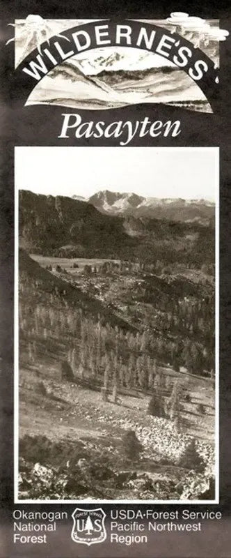
Explore Washington's wild frontier with the Pasayten Wilderness Forest Service Map—your essential guide to one of the Pacific Northwest’s most rugged and remote gems. Spanning over 531,000 acres along the Canadian border in north-central Washington, this double-sided topographic map highlights 40-foot contour intervals and a clearly marked trail system, perfect for planning treks to iconic destinations like Cathedral Peak, Horseshoe Basin, and the Boundary Trail.
Designated a Wilderness Area in 1968 alongside North Cascades National Park, the Pasayten’s history is etched in its abandoned mining trails and rustic remnants. Wander through alpine meadows dotted with lupine and larch, and keep an eye out for mountain goats, black bears, and elusive gray wolves. Whether you're hiking, backpacking, or just soaking in the solitude, the Pasayten Wilderness promises true backcountry adventure.
Located east of the North Cascades, this map is your key to unlocking unforgettable experiences in one of America’s last great wild places.
SKU: SKU:NFWAP
View full details