Rand McNally
Ohio State Highway Laminated Map by Rand McNally - Easy to Fold
Ohio State Highway Laminated Map by Rand McNally - Easy to Fold
Couldn't load pickup availability
Share
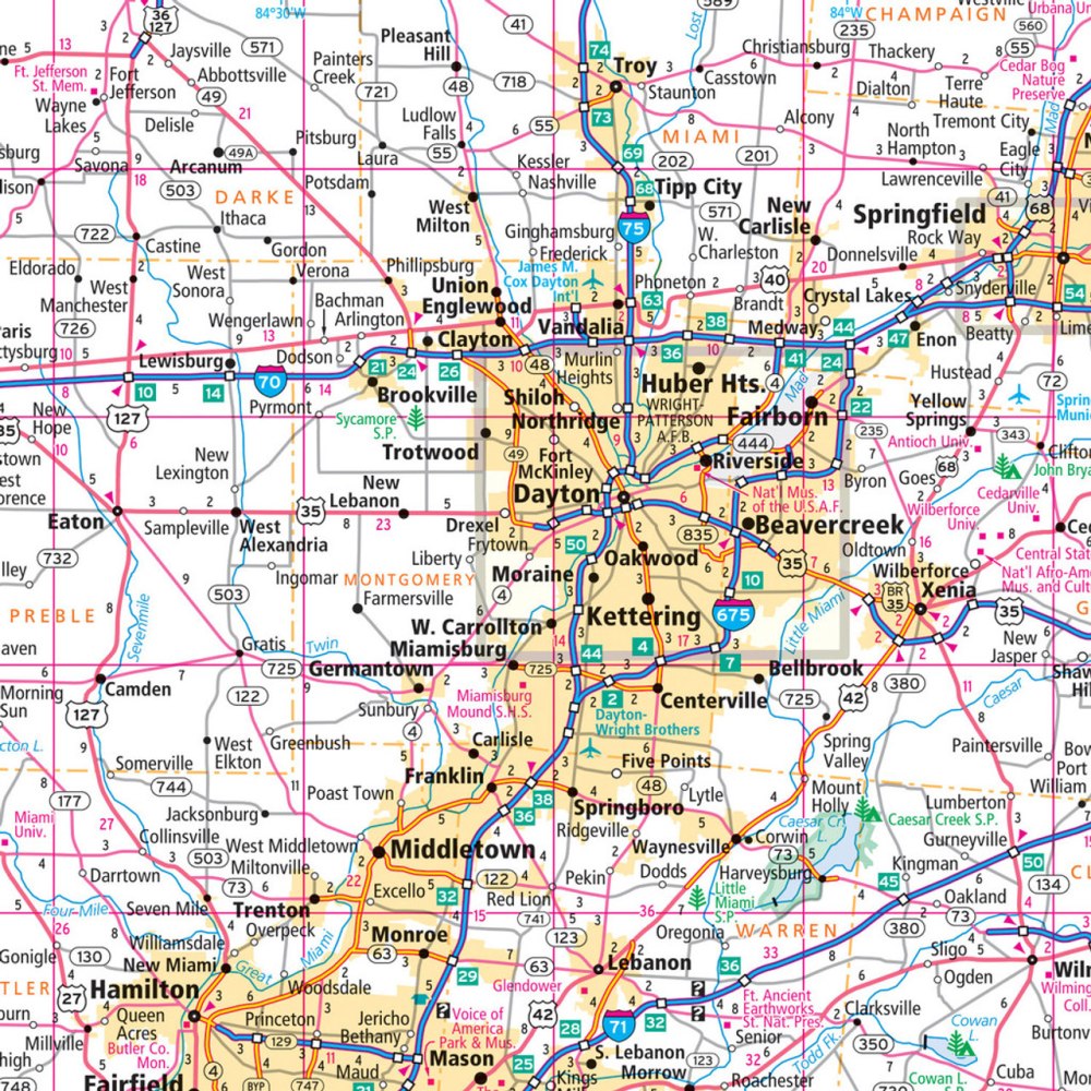
The Ohio State Highway Laminated Map by Rand McNally (Easy to Fold) grabs attention fast with its no-fumble folding design and ultra-durable surface that stands up to every mile of your trip. If you’ve ever wished you could mark a route, jot a note, then wipe it clean to start fresh, this laminated map is your new road trip essential.
Built to resist tears and constant handling, it highlights Ohio’s well-connected highway system—more than 260,000 lane miles statewide—making it easy to plan efficient routes. The full-color, enhanced cartography includes clear highway markers, county lines, points of interest, and a quick-reference legend with a handy city index. And for an unforgettable detour, don’t miss the lesser-known but captivating Holden Arboretum, one of the Midwest’s most spectacular outdoor escapes.
Whether you’re exploring bustling cities or quiet backroads, this reusable map delivers reliable, clutter-free navigation every time.
SKU: SKU:RMCUSOHE
View full details