Rand McNally
Ohio State Highway Folded Map by Rand McNally - Easy to Read
Ohio State Highway Folded Map by Rand McNally - Easy to Read
Couldn't load pickup availability
Share
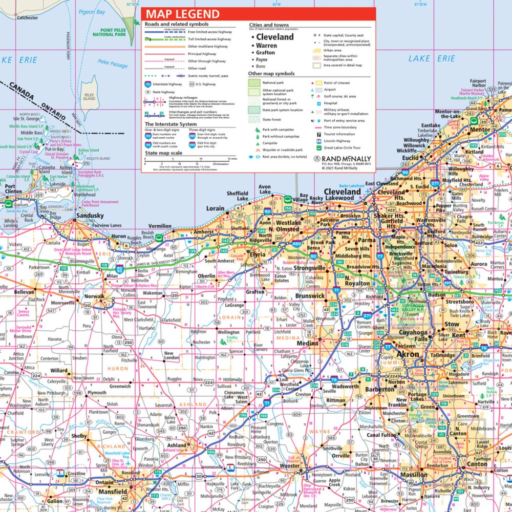
Hit the road and explore the "Buckeye State" like a pro with the Ohio State Highway Folded Map by Rand McNally! Perfect for planning scenic drives, weekend getaways, or cross-state adventures, this easy-to-read map puts the entire state in your hands. Skip the stress of phone maps losing signal—our paper map ensures you never miss a turn or hidden gem. Discover Ohio beyond the usual stops with must-see sites like the stunning Hocking Hills State Park, a lesser-known natural wonder perfect for road trippers.
Rand McNally’s trusted cartography highlights every Interstate, U.S., state, and county highway, along with parks, airports, county lines, and points of interest. With a clear legend, detailed index, and up-to-date mileage and driving times, finding your destination has never been simpler. Full-color, large-format, and conveniently folded, this map is your ultimate travel companion for exploring Ohio with confidence and ease.
SKU: SKU:RMCUSOH
View full details