1
/
of
2
National Geographic
Ogden - Monte Cristo Range Map
Ogden - Monte Cristo Range Map
Regular price
$14.95 USD
Regular price
Sale price
$14.95 USD
Unit price
/
per
Couldn't load pickup availability
Share
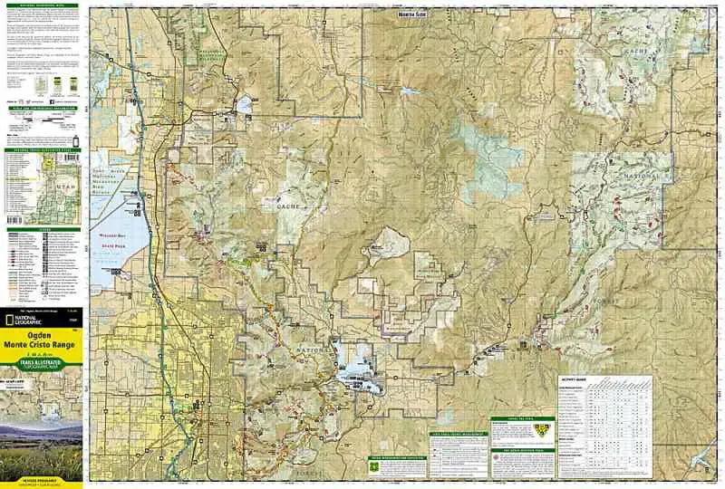
National Geographic/ Trails Illustrated Map #700 Ogden- Monte Cristo Range covers the area of northern Utah north of Salt Lake City and east of the Great Salt Lake. The north side of the map has portions of the Cache National Forest and Pineview Reservoir, east of Ogden and Brigham City. The south side shows the trails of the Wasatch National Forest with it's succession of parallel east/west oriented trails. Also shows the trails network around Snow Basin Ski Area and the trails on Antelope Island- accessible by a causeway.
- 1" = 1.2 miles / 1 cm = .75 kilometers
- Contour Interval 50 Feet
- waterproof