Ediciones Independencia
Oaxaca, Mexico State Map
Oaxaca, Mexico State Map
Couldn't load pickup availability
Share
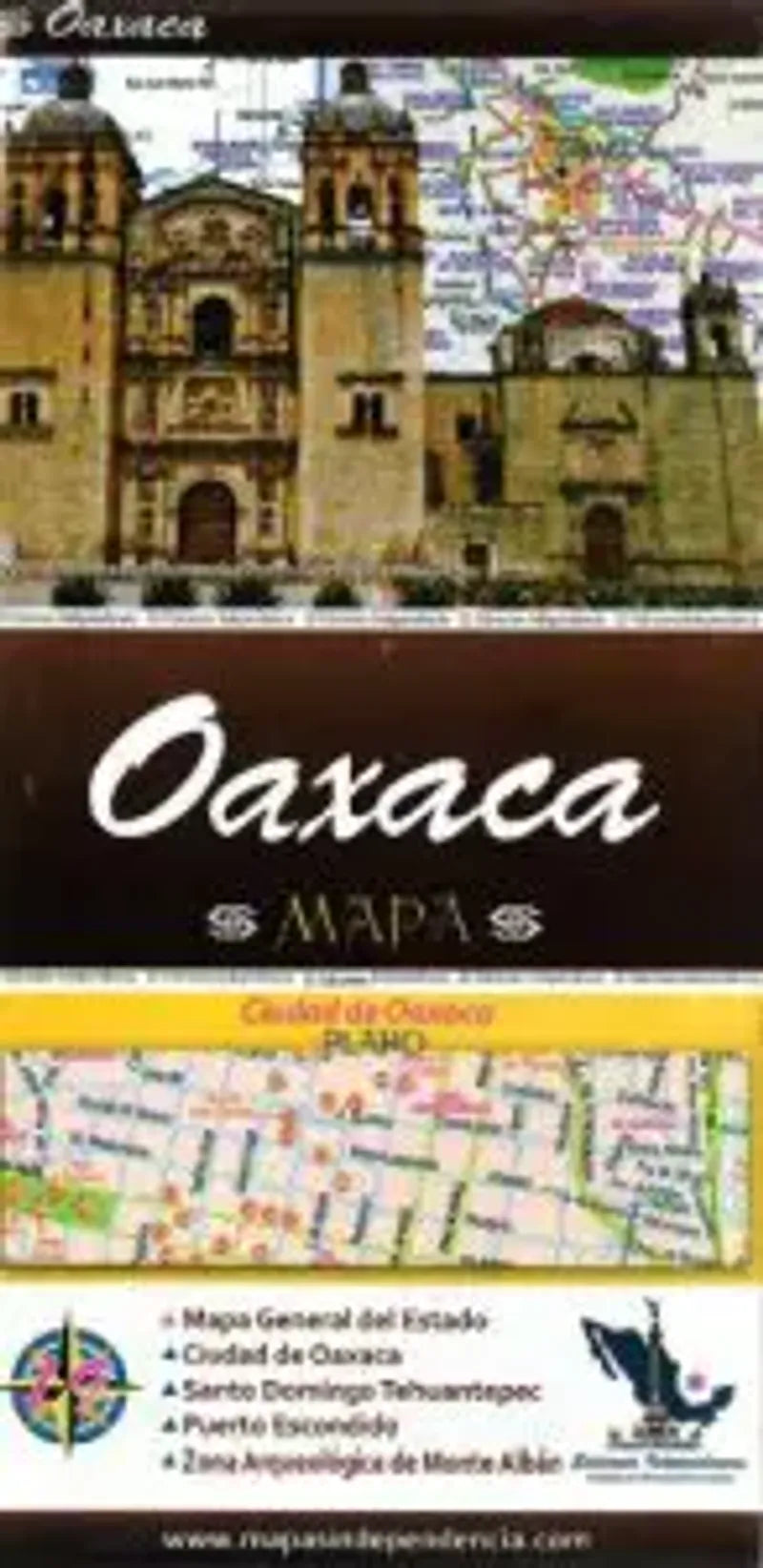
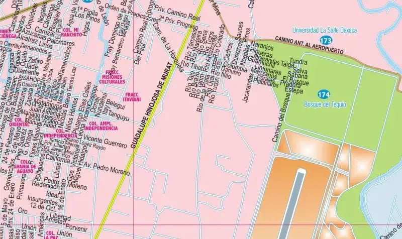
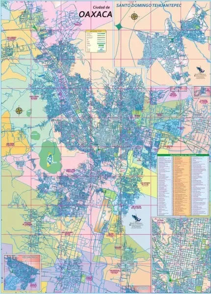
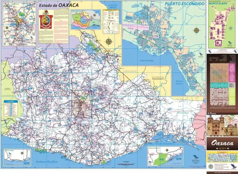
Embark on a captivating journey through the enchanting landscapes of the Mexican state of Oaxaca with the Oaxaca Map – your indispensable guide to exploration and discovery. This travel map, thoughtfully and usefully crafted in Spanish by Ediciones Independencia, unfolds to reveal the intricate details of the city of Oaxaca at a 1:22,600 scale, ensuring precision in your urban navigation. The broader Oaxaca map, with a comprehensive state scale of 1:650,000, showcases an array of features, including roads with distances in kilometers, railways, airports, and settlements both big and small.
Dive into the heart of Oaxaca's cultural and natural wonders as the map unveils national parks, archaeological sites, art and craft centers, and sites of folkloric significance. Uncover the allure of beaches, thermal baths, and engage in recreational activities like golf, hunting, fishing, and aquatic sports.
The Oaxaca Map goes beyond the city limits, offering city-specific maps for Oaxaca, Salina Cruz, Santo Domingo Tehuantepec, Puerto Escondido, and Pinotepa Nacional. With a convenient table of distances and a comprehensive chart adorned with icons, it guides you to essential amenities, services, and attractions in larger cities and towns. Printed on both sides, the Oaxaca Map is your key to unlocking the treasures of this vibrant Mexican state.
SKU: SKU:MAPEIOAX
View full details