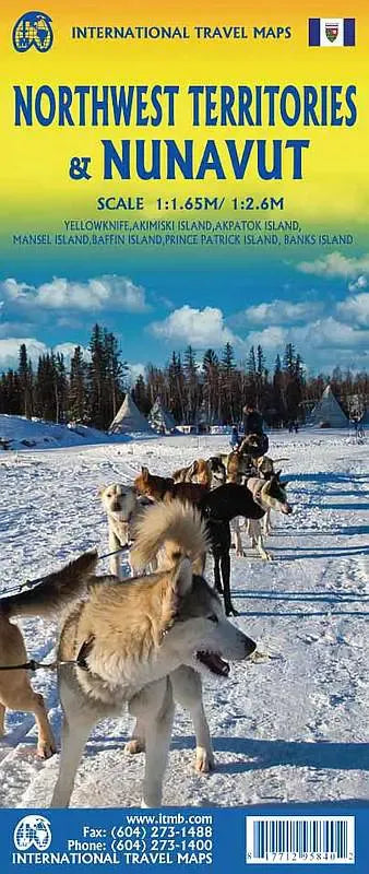
International Travel Maps
Nunavut & NW Territories Travel Map
Nunavut & NW Territories Travel Map
Couldn't load pickup availability
Share
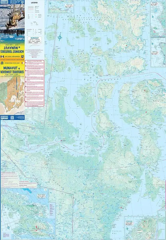
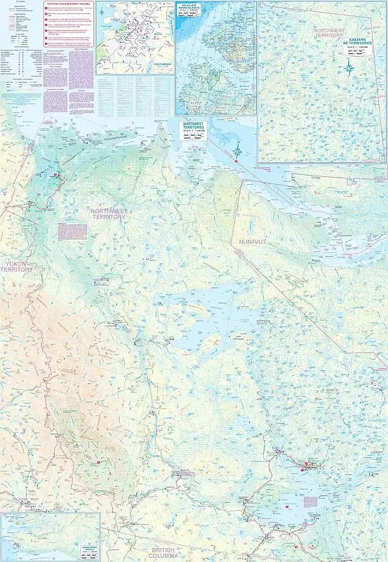
Explore the vast and breathtaking regions of northern Canada with the ITMB Nunavut Travel and Reference Map, featuring the Northwest Territories on the reverse side. This detailed map, scaled at 1:165,000 for Nunavut and 1:2,600,000 for the Northwest Territories, offers an in-depth look at some of the most remote and fascinating areas on the planet.
Nunavut, Canada's newest territory, is celebrating its 25th anniversary and encompasses an area larger than all of Europe. Despite its size, it is home to only about 30,000 people, with its capital, Iqaluit, located at the head of Frobisher Bay on Baffin Island. The map includes an inset of Iqaluit, highlighting its unique layout and key points of interest.
On the reverse side of this Nunavut Travel Map, the Northwest Territories cover a vast area from the 60th parallel to the Arctic Ocean. The capital, Yellowknife, is accessible via a paved highway from Alberta, with an inset map detailing its city streets and attractions. One of the region's most exciting developments is the new gravel road from Inuvik to Tuktoyaktuk, a small town on the Arctic Ocean, accessible only through the Yukon and the Dempster Highway. This road opens up new opportunities for adventure and exploration in the far north.
SKU: SKU:ITMNWTNUN
View full details