International Travel Maps
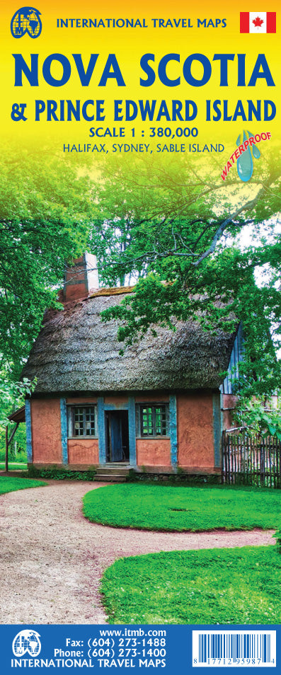
Nova Scotia & Prince Edward Island Travel & Reference Map by ITMB
Nova Scotia & Prince Edward Island Travel & Reference Map by ITMB
Couldn't load pickup availability
Share
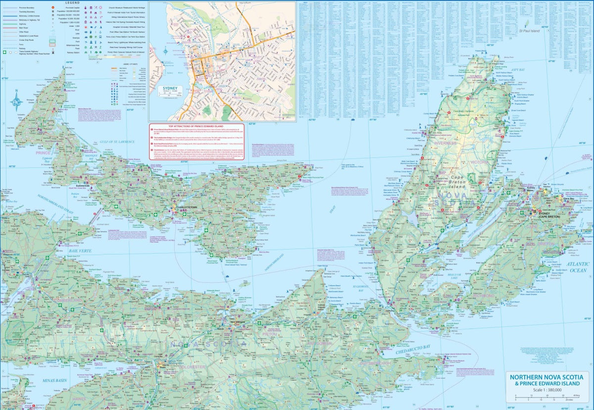
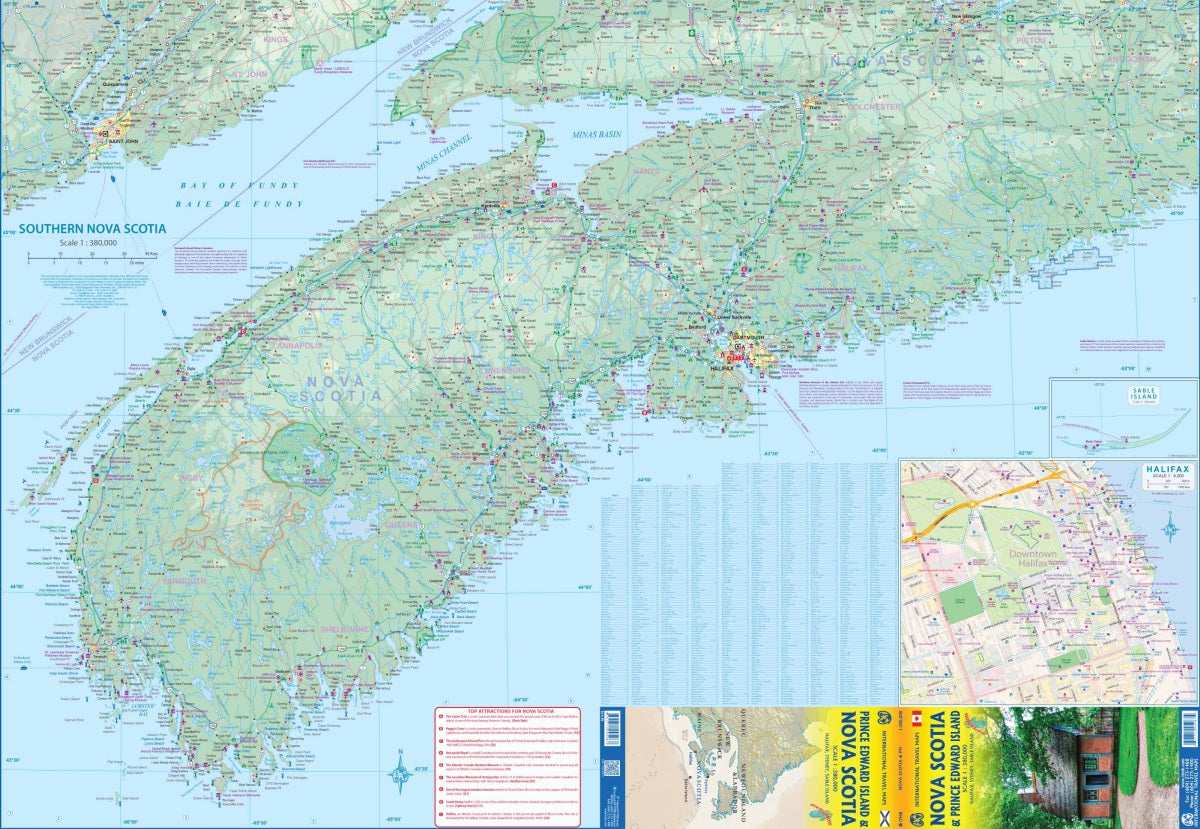
Discover two of Canada’s most charming provinces with the double-sided Nova Scotia & Prince Edward Island Travel & Reference Map by ITMB, scaled at 1:380,000. Nova Scotia, known as “New Scotland,” is one of the country’s most beloved destinations, offering rugged coastlines, fishing villages, and lively cities. Side 1 highlights western Nova Scotia, from Digby Neck to New Glasgow, with an easy-to-read inset map of Halifax, perfect for exploring this historic maritime capital. Side 2 covers the northern reaches of the province, along with Prince Edward Island and Cape Breton Island. Follow the legendary Cabot Trail, step back in time at Fort Louisbourg National Historic Site, or ferry over to Prince Edward Island, home to red-sand beaches and rolling farmland.
This durable, folded map (27" x 39") features road classifications, rivers, lakes, parks, airports, highways, and points of interest, making it an essential companion for planning your Atlantic Canada adventure.
SKU: SKU:ITMNOVA
View full details