Sobay
Northwest Coast Wall Map - South Half by Sobay
Northwest Coast Wall Map - South Half by Sobay
Couldn't load pickup availability
Share
BACK IN PRINT & NOW AVAILABLE IN TWO SIZES!!
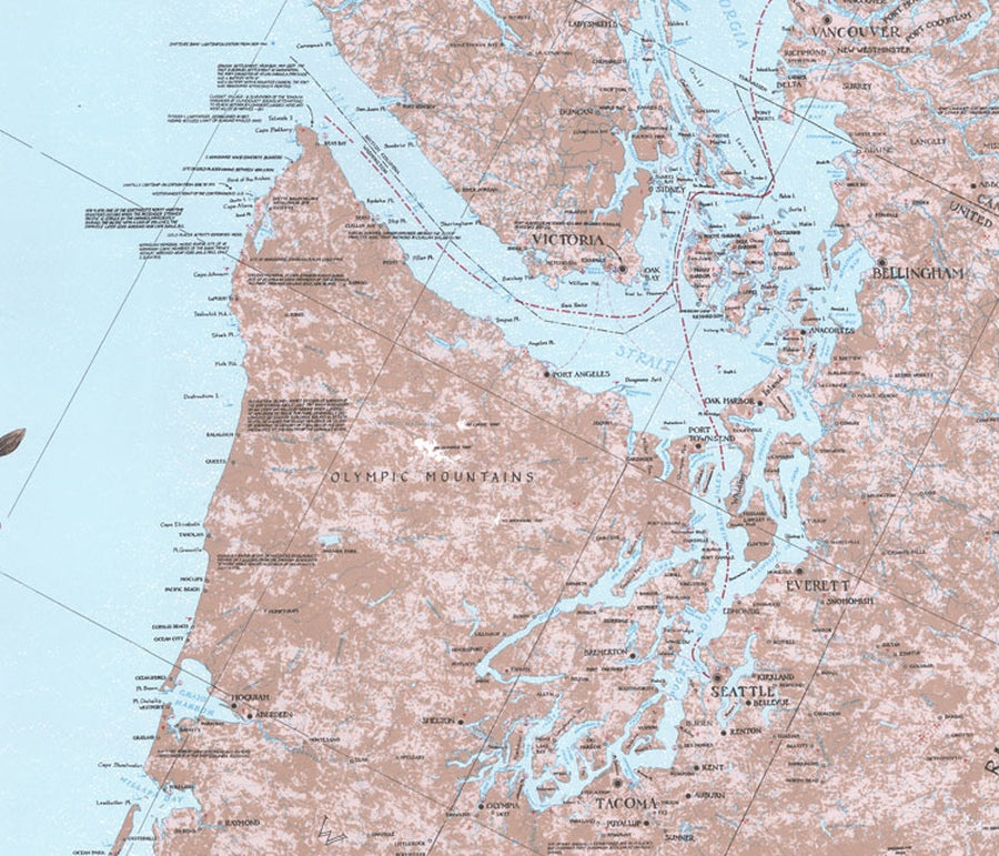
Large islands an snow-clad mountains characterize the northern British Columbia and Alaskan coastal waterways. This beautiful light blue and pale taupe map covers from Ocean Falls, B.C. south to Lincoln City, Oregon, including all of Vancouver Island, Puget Sound, Willapa Bay, Gray's Harbor and the mouth of the Columbia River.
Historic points of interest, such as shipwrecks, gold mines and quarries, are called out, along with tidbits of West Coast history and lore. Trace the route of the famous "Inside Passage" and relive the sites and hardships of the Klondike gold rush of 1898. Marine facilities, parks, resorts, and some ferry and cruise ship routes are also marked.
Match lines allow this map to be joined with The Northwest Coast - North Half to give you an entire wall (9 feet 6 inches) of gold rush lore along nearly 1200 miles of pristine Pacific Northwest coastline.
New Size & Paper Type
Recently reprinted, this map is now printed on HD Synthetic Paper that is water and tear resistant, lays flat and the graphic is impressively sharp...presents just like a matte laminated paper print. With this increased clarity, we are also happy to offer a more compact 18" x 36" print for those who are wall space challenged!
SKU: SKU:SOB1003
View full details