Ordnance Survey
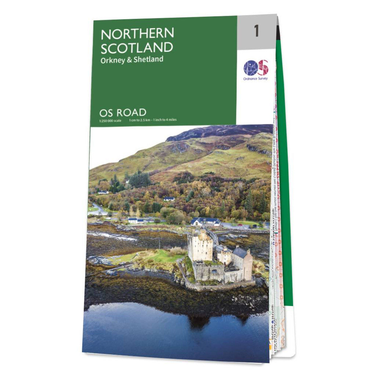
Northern Scotland Road & Reference Map by Ordnance Survey
Northern Scotland Road & Reference Map by Ordnance Survey
Couldn't load pickup availability
Share
Discover the rugged beauty of Northern Scotland with the Ordnance Survey Road Map 1. With a scale of 1:250,000, this map is your perfect companion for planning unforgettable road trips or cycling adventures through the wild and windswept landscapes of the Highlands.
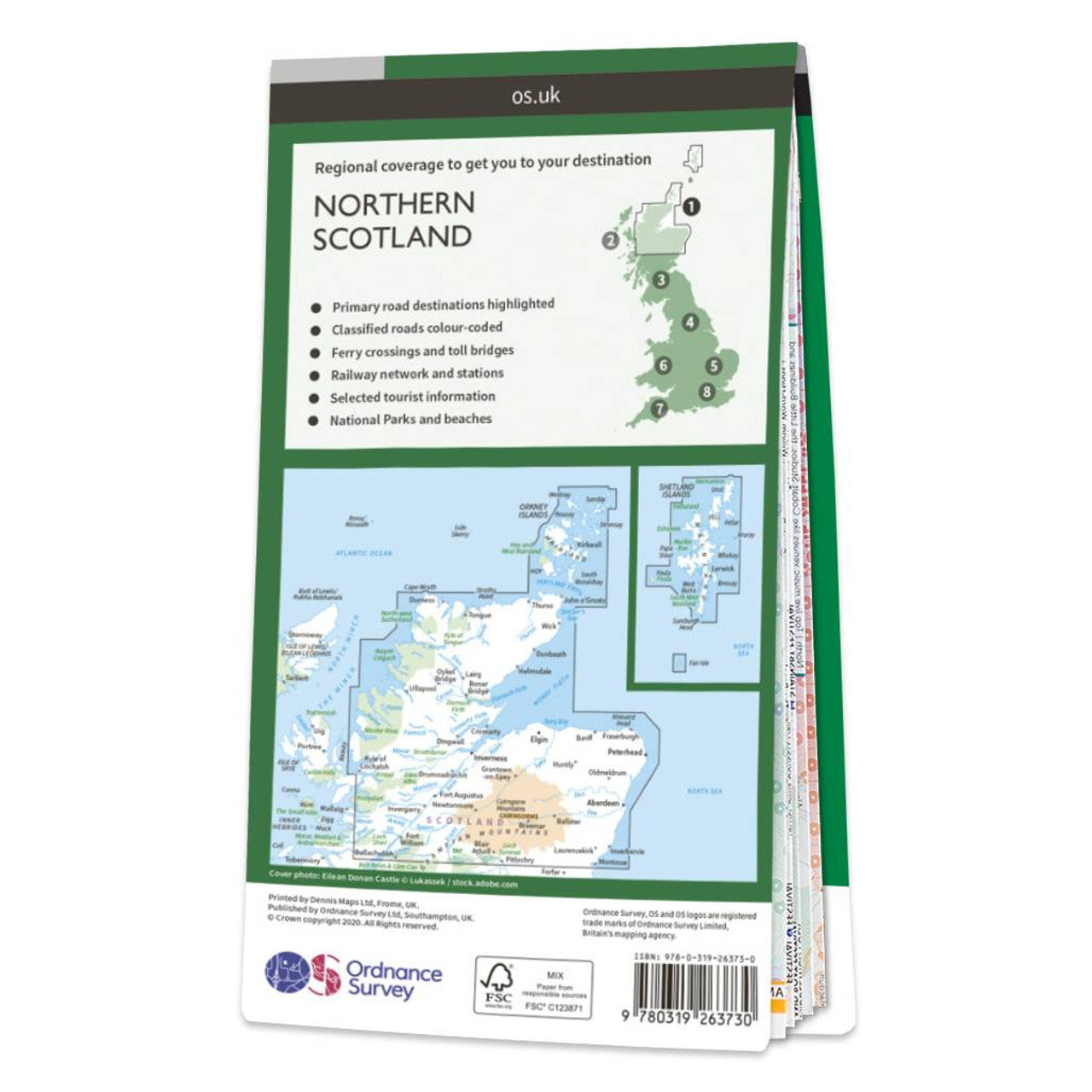
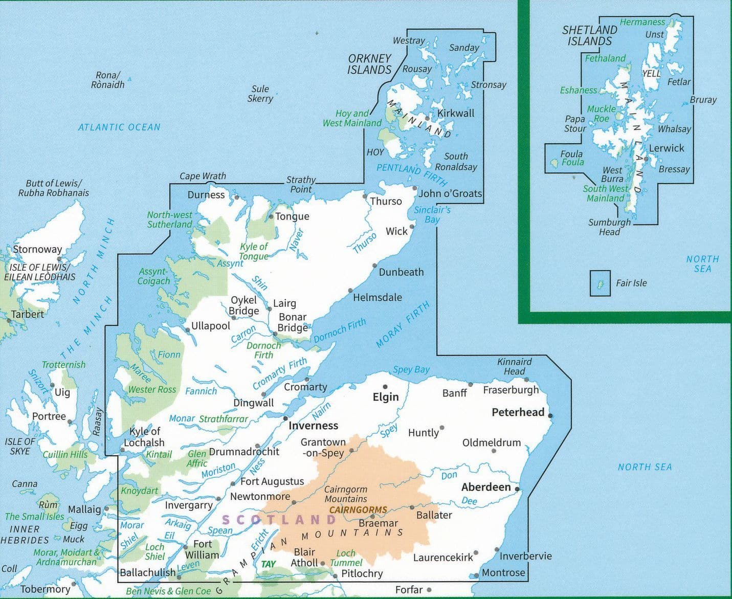
From dramatic coastlines to historic towns, every major road, rail, and ferry route is clearly marked, making navigation a breeze. You'll also find contours and hill shading that bring the terrain to life, so you can really get a feel for the landscape before you even set out. The map includes Orkney and Shetland at a 1:400,000 scale, opening the door to island-hopping explorations.
Whether you're chasing castle ruins, coastal views, or remote Highland charm, this map helps you plan with confidence and ease. Let the trusted national mapping agency of Great Britain guide you through one of the most breathtaking corners of the country.
SKU: SKU:MAPOSRM1
View full details