Ordnance Survey
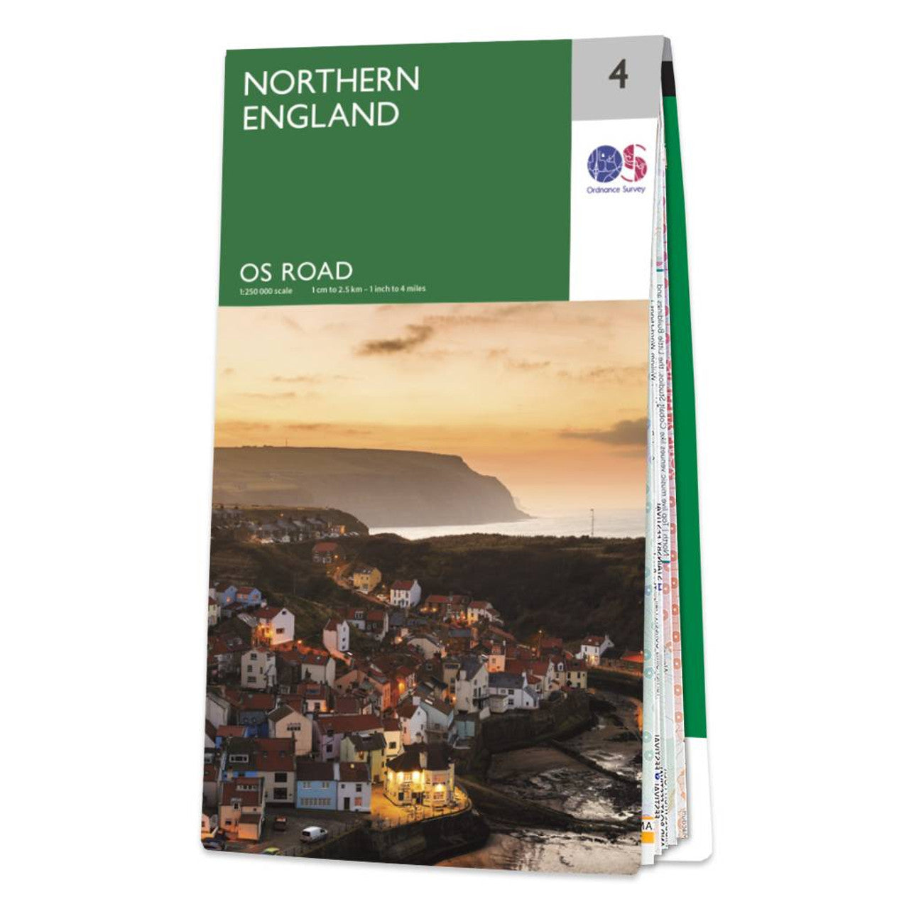
Northern England Road & Reference Map by Ordnance Survey
Northern England Road & Reference Map by Ordnance Survey
Couldn't load pickup availability
Share
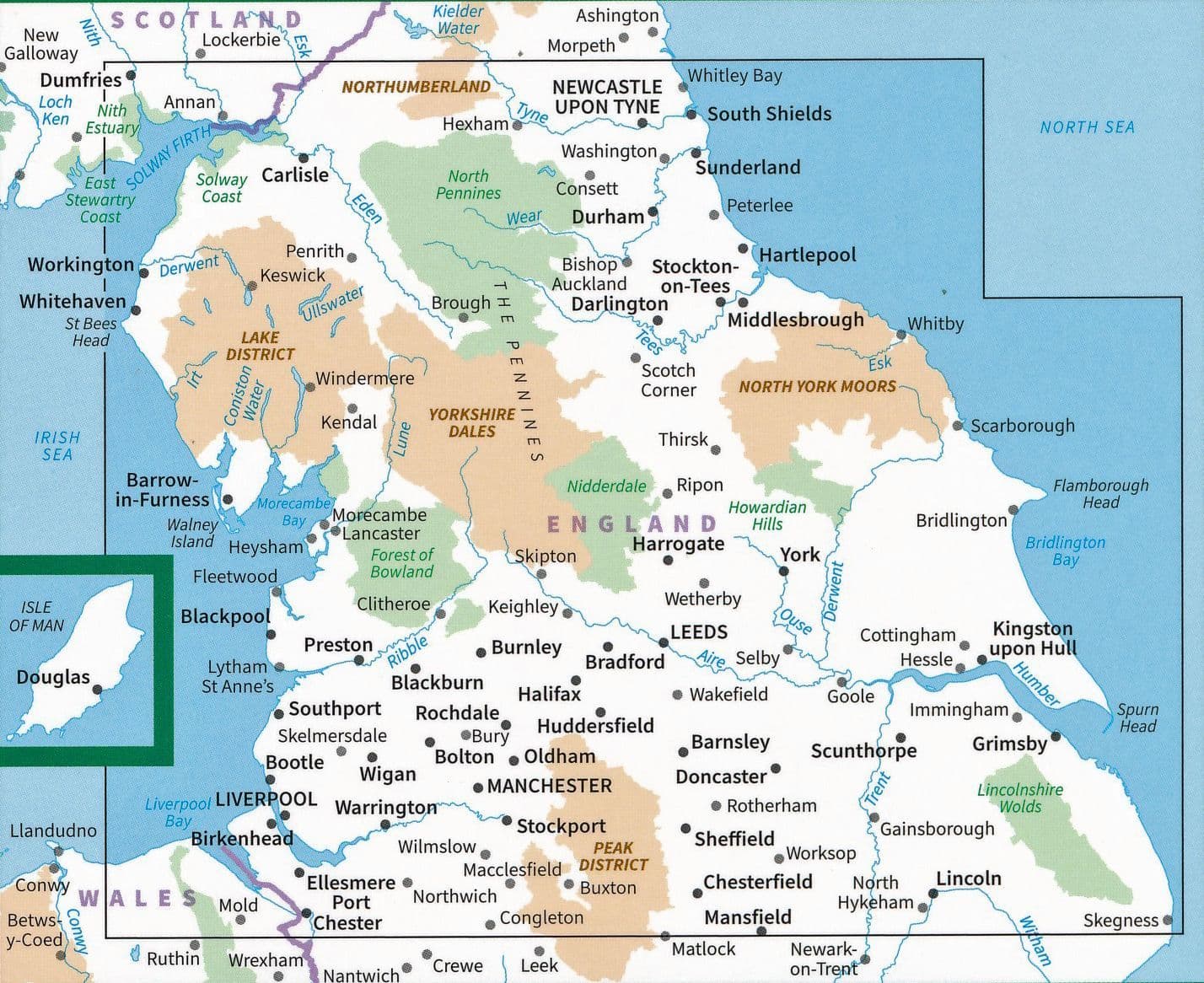
Explore the rich tapestry of Northern England with the Ordnance Survey Road Map 4, your essential companion for car tours and cycling adventures. With a detailed scale of 1:250,000, this map covers the iconic Lake District, the rolling heather-clad North York Moors, and the vibrant cities of Liverpool and Manchester. Plan your route through dramatic landscapes, winding roads, and historic towns with ease.
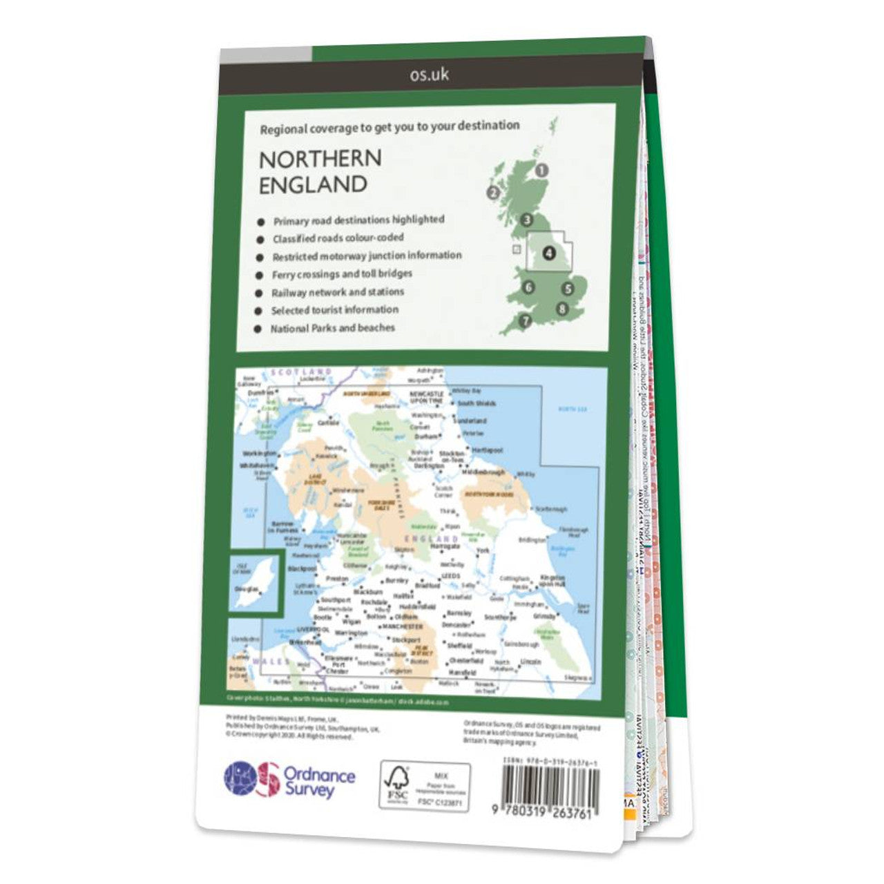
Whether you're drawn to the tranquil waters of Windermere, the Gothic ruins of Whitby Abbey, or the musical legacy of Liverpool, this map helps bring your journey to life. It shows all major road, rail, and ferry links, along with towns, cities, and select attractions. Contours and hill shading reveal the true shape of the land, helping you visualize every peak and valley.
Created by the Ordnance Survey, Britain’s trusted national mapping agency, this map is perfect for unlocking unforgettable Northern adventures.
SKU: SKU:MAPOSRM4
View full details