Custom Correct
North Olympic Coast Trail Map
North Olympic Coast Trail Map
Couldn't load pickup availability
Share
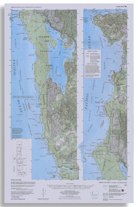
The North Olympic Coast Trail Map by Custom Correct is a must have for exploring the rugged and remote coastline of Olympic National Park. Covering the northern half of the park’s coastal strip, this detailed topo map spans from Rialto Beach and the Quillayute River in the south to Cape Flattery in the north, including Ozette Lake.
It highlights the wild, untamed beauty of the Pacific coast, featuring sections of the Makah, Ozette, and Quileute Reservations. Trail enthusiasts will find key routes such as the renowned Ozette–Cape Alava–Sand Point Loop, with additional detail available on the Ozette Beach Loop map.
With a precise 1:62,500 scale and 40-foot contour intervals, this map is an invaluable tool for hikers, backpackers, and adventurers seeking the breathtaking landscapes of Washington’s Olympic coast.
SKU: SKU:LRENOC
View full details


