Rand McNally
North Dakota & South Dakota State Highway Folded Map by Rand McNally
North Dakota & South Dakota State Highway Folded Map by Rand McNally
Couldn't load pickup availability
Share
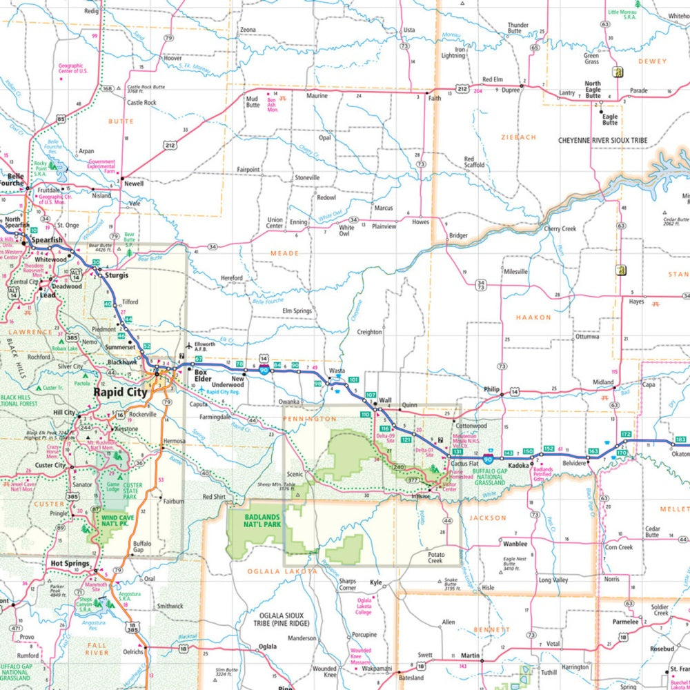
Hit the open road through the "Peace Garden State" and the "Mount Rushmore State" with the North Dakota & South Dakota State Highway Folded Map by Rand McNally. Planning your next adventure has never been easier—skip the frustrations of slow GPS signals and enjoy a big-picture view of every highway, park, and hidden gem along the way.
This easy-to-read map features clearly labeled Interstates, U.S., state, and county highways, plus detailed info on airports, county boundaries, and points of interest. The handy legend and full index let you find your next stop in seconds, while mileage markers and driving times make road-trip planning a breeze. Discover not just the famous attractions, but also under-the-radar spots like the enchanting Medora Musical in North Dakota, a must-see for culture lovers. With full-color, regularly updated maps in a convenient folded size, this Rand McNally map is your ultimate travel companion for exploring the Dakotas with confidence.
SKU: SKU:RMCUSND
View full details