Green Trails
North Cascades / Ross Lake, WA - Green Trails Map 16SX
North Cascades / Ross Lake, WA - Green Trails Map 16SX
Couldn't load pickup availability
Share
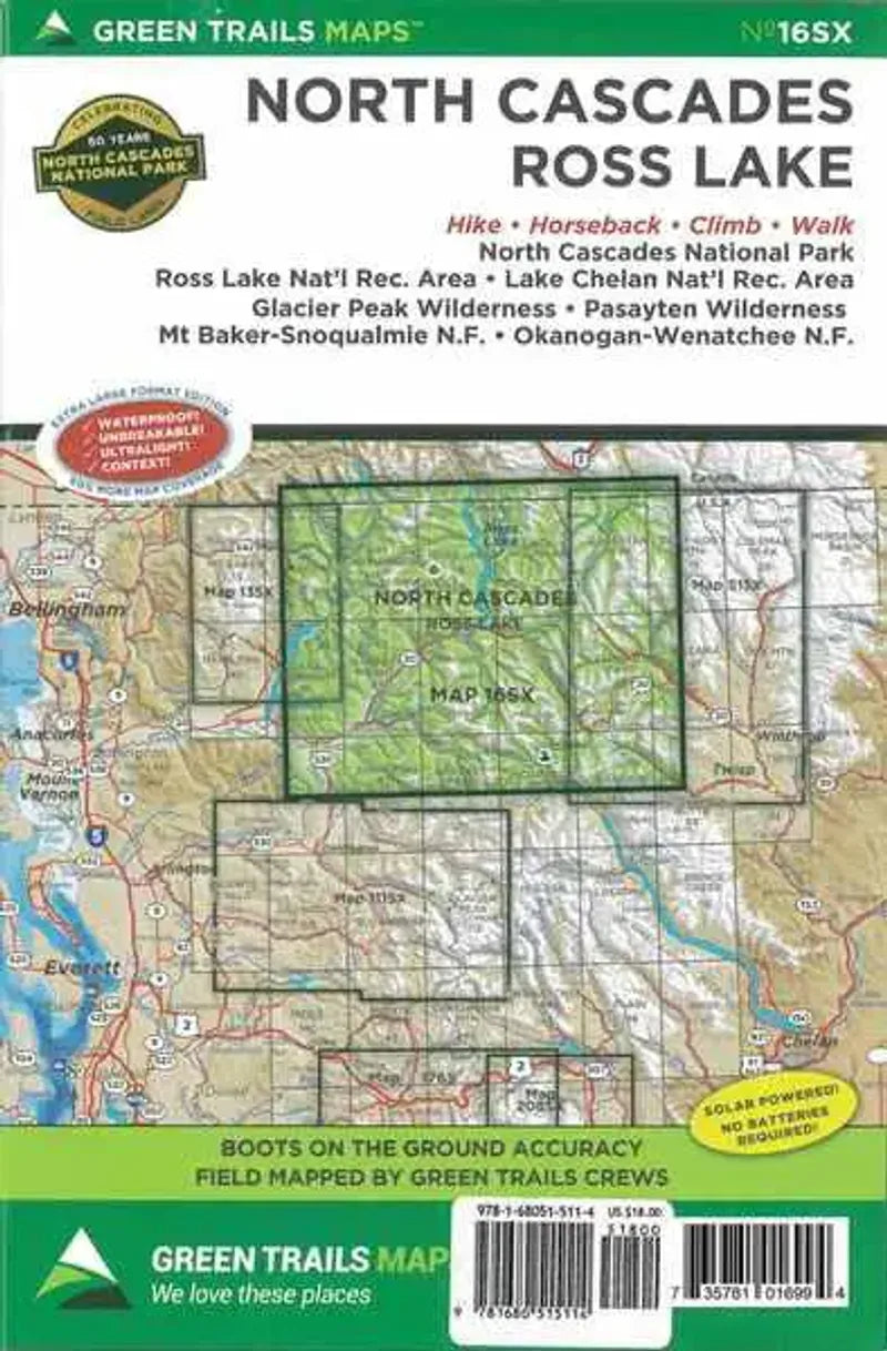
North Cascades / Ross Lake, WA - Green Trails Map #16SX is an essential tool for exploring the rugged beauty of the North Cascades. Covering the North Cascades Highway, North Cascades National Park, and Ross Lake National Recreation Area, this expansive map unlocks endless possibilities for both scenic day hikes and challenging multi-day backpacking adventures.
It highlights Harts Pass, Washington’s highest road, along with historic mining trails and stunning high-country terrain. The Pacific Crest Trail from High Bridge to the Canadian border and the Pacific Northwest Trail from the Pasayten River to Baker Lake are prominently displayed. Discover breathtaking routes through the Cascade River Valley, the remote upper Stehekin River valley, and the Twisp River Valley, which leads into the Lake Chelan-Sawtooth Wilderness.
With a 1:100,000 scale, this map provides unparalleled detail for your next adventure.
ArticlesSKU: SKU:GRE016SX
View full details