Rand McNally
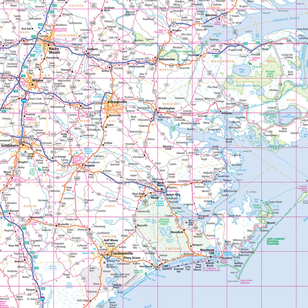
North Carolina State Highway Folded Map by Rand McNally - Easy to Read
North Carolina State Highway Folded Map by Rand McNally - Easy to Read
Couldn't load pickup availability
Share
Hit the road in the "Tar Heel State" with the North Carolina State Highway Folded Map by Rand McNally, your ultimate travel sidekick for scenic drives, hidden gems, and hassle-free navigation! Skip relying solely on your phone—this easy-to-read map helps you plan your perfect trip, avoid surprises, and discover the state beyond the usual tourist stops. From bustling cities to rolling mountains, it clearly shows all Interstates, U.S., state, and county highways, plus parks, airports, county lines, and must-see points of interest.
Don’t miss a chance to explore the quirky, lesser-known gem of the North Carolina coast: Bald Head Island, a serene escape accessible only by ferry. The map’s detailed index, handy legend, and full-color presentation make finding your destinations effortless, while its regular updates ensure you have the most accurate information. Compact, convenient, and perfect for any road trip, this Rand McNally map is your ticket to adventure in North Carolina.
SKU: SKU:RMCUSNC
View full details