1
/
of
1
NOAA
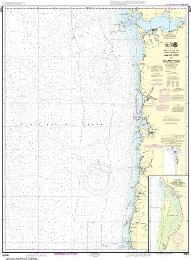
Nautical Chart 18520 - WA Coast - Yaquina Head to Columbia River
Nautical Chart 18520 - WA Coast - Yaquina Head to Columbia River
Regular price
$26.95 USD
Regular price
Sale price
$26.95 USD
Unit price
/
per
Couldn't load pickup availability
Share
Size/Scale: 1:185,238 | 35" x 45"
Nautical chart 18520 of the Pacific Coast from Yaquina Head to the mouth of the Columbia River including Tillamook Bay, Cape Disappointment, and a more detailed inset of Netarts Bay at a scale of 1:30,000. Click here for a PDF image, and zoom in for a closer look at NOAA's Nautical Chart 18520 - Yaquina Head to Columbia River.
It has all the features of an official navigation chart, but also makes a great, large wall map!
SKU: SKU:NOS18520
View full details