1
/
of
1
NOAA
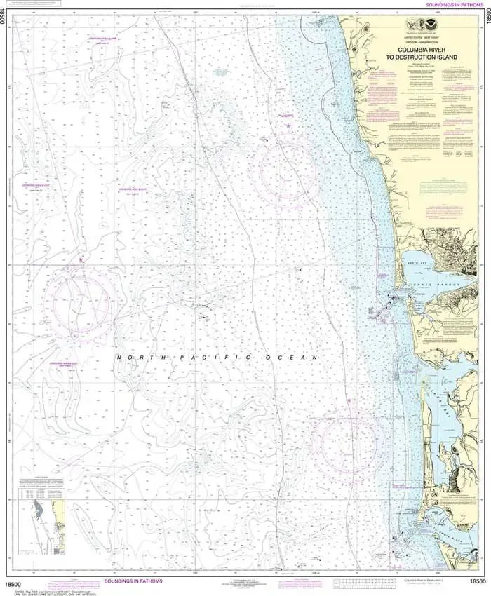
Nautical Chart 18500 - WA Coast - Columbia River to Destruction Island
Nautical Chart 18500 - WA Coast - Columbia River to Destruction Island
Regular price
$26.95 USD
Regular price
Sale price
$26.95 USD
Unit price
/
per
Couldn't load pickup availability
Share
Size/Scale: 1:180,789 | 35" x 42"
Nautical chart 18500 of the Pacific Coast from the Columbia River to Destruction Island including Grays Harbor and Willapa Bay.
It has all the features of an official navigation chart, but also makes a great, large wall map!
SKU: SKU:NOS18500
View full details