

National Forest Service
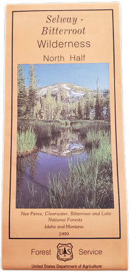
Nez Perce NF - Selway Bitterroot Wilderness, North Forest Service Map
Nez Perce NF - Selway Bitterroot Wilderness, North Forest Service Map
Couldn't load pickup availability
Share
Discover the wild beauty of the Selway-Bitterroot Wilderness (North half) with this Forest Service Map, your ultimate guide to one of the largest contiguous wilderness areas in the lower 48 states—spanning over 1.3 million acres across Idaho and Montana.
This rugged backcountry features soaring peaks, glacier-carved valleys, and pristine rivers. Popular destinations like the Selway River, Moose Creek, and Bear Creek Trail offer top-notch fishing, hiking, and backcountry camping. Watch for elk, black bears, mountain goats, and bald eagles, and enjoy wildflower-filled meadows brimming with beargrass and subalpine fir. Steeped in Nez Perce tribal history and preserved since 1964, this map highlights 100-foot contours, trails, campsites, fire lookouts, and recreation info for hiking, skiing, and paddling.
Whether you're planning a multi-day trek or a riverside retreat, this waterproof, topographic map is your ticket to exploring Idaho and Montana's untamed heart. Adventure awaits in the Selway-Bitterroot!
SKU: SKU:NFIDSBN
View full details