National Forest Service
Nez Perce National Forest - Nez Perce-Clearwater Forests Service Map
Nez Perce National Forest - Nez Perce-Clearwater Forests Service Map
Couldn't load pickup availability
Share
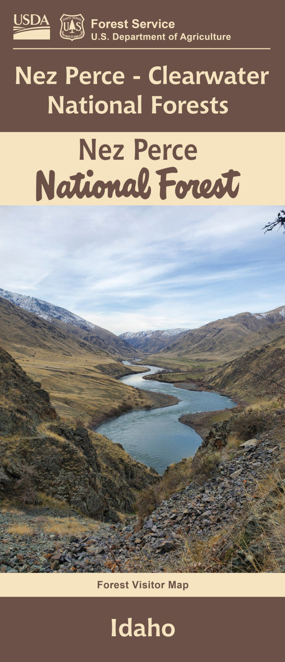
Discover the untamed beauty of the Nez Perce-Clearwater National Forests with the official Forest Service Map - a must-have for your next outdoor adventure. Nestled in north-central Idaho, this vast 4-million-acre wilderness spans deep river canyons, high alpine ridges, and ancient forests.
Explore popular attractions like the historic Lolo Trail, the pristine Selway River, and the legendary Lochsa River corridor. Home to elk, moose, black bears, and over 1,500 native plant species—including old-growth cedar groves—the forests offer incredible biodiversity. Once the ancestral land of the Nez Perce Tribe, this area echoes with history and cultural significance. Use this waterproof, topographic map to navigate with confidence across hiking trails, campsites, and backcountry routes.
Whether you’re backpacking, fishing, or seeking solitude, the Nez Perce-Clearwater National Forests promise wild beauty and unforgettable experiences. Let the map be your gateway to Idaho’s most rugged and rewarding terrain.
SKU: SKU:NFIDN
View full details


