International Travel Maps
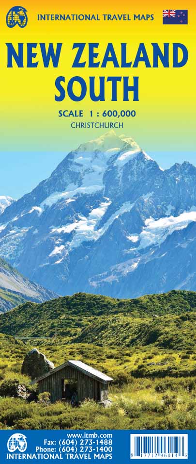
New Zealand South Travel & Reference Map by ITMB
New Zealand South Travel & Reference Map by ITMB
Couldn't load pickup availability
Share
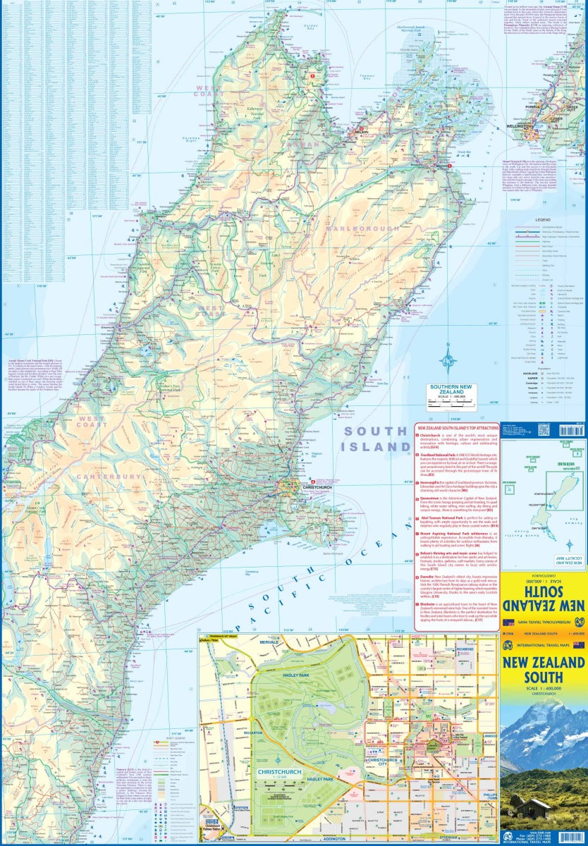
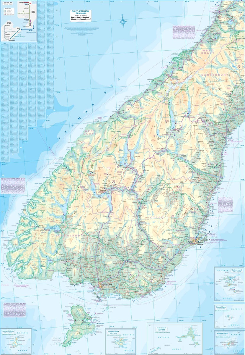
Explore the breathtaking landscapes of New Zealand’s South Island with this detailed, double-sided travel and reference map by ITMB, scaled at 1:600,000. From the dramatic fjords of Milford Sound to the vibrant city of Christchurch and the rugged peaks of Aoraki/Mount Cook, this map is your ideal companion for planning epic road trips, outdoor adventures, and cultural excursions.
One side covers the wild southern reaches, including Invercargill, Dunedin, and Stewart Island, while the other guides you north through alpine valleys and coastal towns to Nelson, with a ferry connection to Wellington. A large inset of Christchurch offers added detail for city explorers. Designed for ease of use, this folded 27" x 39" map features clearly classified roads, national parks, rivers, lakes, airports, and points of interest.
Whether you're hiking, driving, or sightseeing, discover why South Island is a paradise for travelers with this essential guide in hand.
SKU: SKU:ITMNZS
View full details


