Gizi
New Zealand Geographical Map by Gizi Maps
New Zealand Geographical Map by Gizi Maps
Couldn't load pickup availability
Share
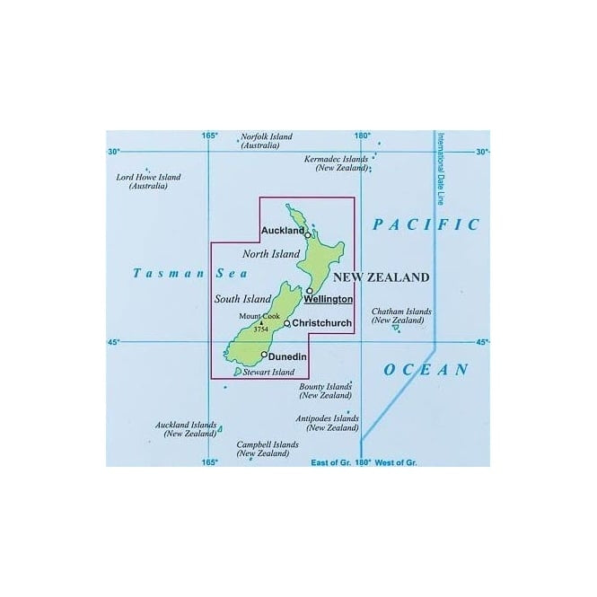
Discover the spectacular beauty of Aotearoa with this folded New Zealand Geographical Map from Gizi Maps. At a scale of 1:1,700,000, it's the perfect travel companion for scenic road trips, vacation planning, and exploring one of the world's most breathtaking island nations.
Featuring shaded relief and elevation tinting, the map clearly displays major and minor roads, railways, airports, administrative boundaries, national parks, historic sites, and countless tourist attractions. Visit the geothermal wonders of Rotorua, admire the dramatic peaks of Aoraki / Mount Cook National Park, or cruise through the unforgettable fjords of Milford Sound. An easy-to-use place name index appears on the reverse, along with helpful insets showing the surrounding area, an administrative map of New Zealand, and a road distance chart.
New Zealand's modern identity was shaped by the 1840 Treaty of Waitangi, a landmark agreement between Māori chiefs and the British Crown. With multilingual legends in English, German, French, and Italian, this Gizi Maps edition is an excellent resource for travelers, adventurers, and map enthusiasts alike.
SKU: SKU:MAPGIZNZ
View full details