Rand McNally
New York State Highway Folded Map by Rand McNally - Easy to Read
New York State Highway Folded Map by Rand McNally - Easy to Read
Couldn't load pickup availability
Share
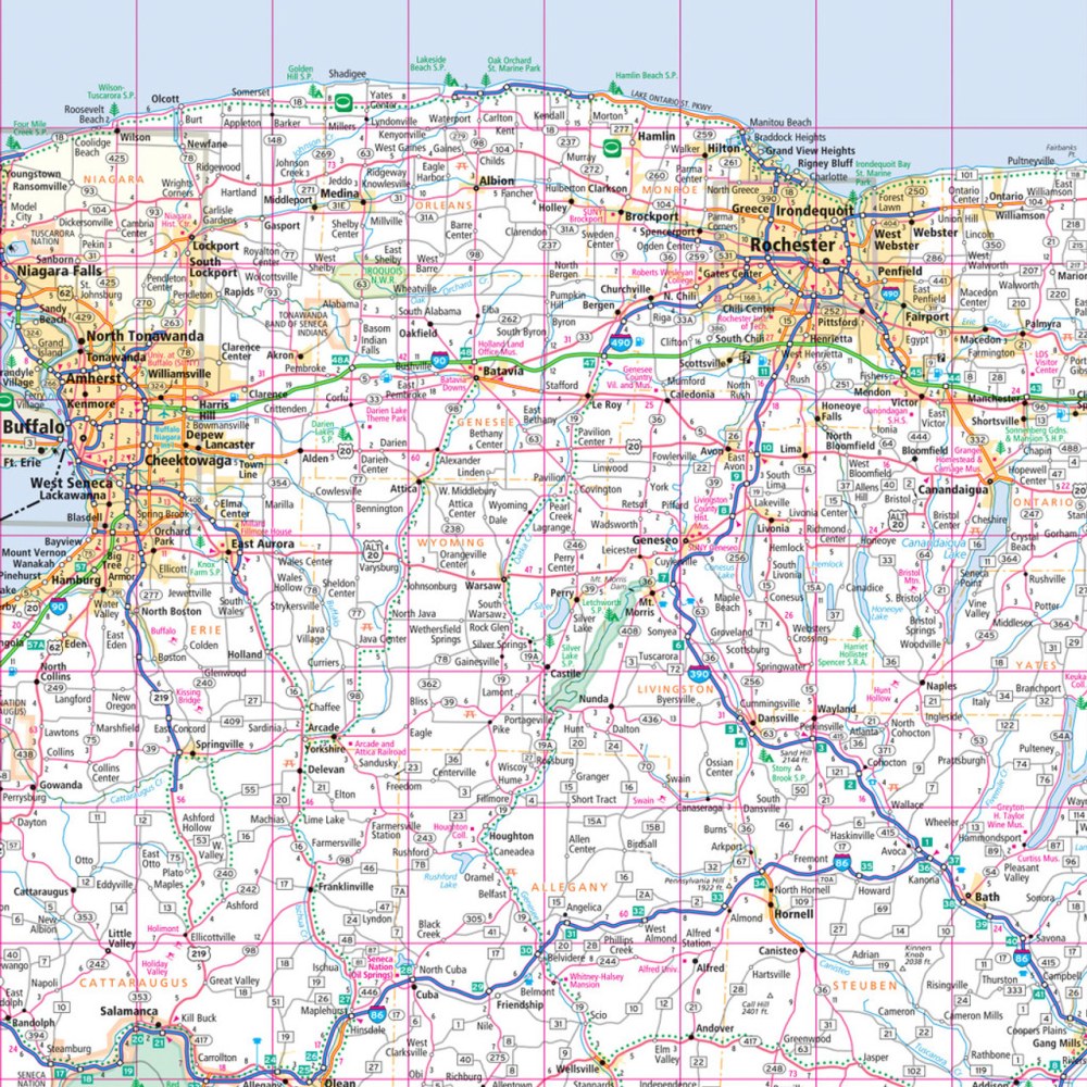
Hit the road through the "Empire State" with the New York State Highway Folded Map by Rand McNally, your ultimate travel companion for planning smooth, stress-free trips. Forget relying on battery life or spotty cell service—this easy-to-read road map gives you instant, reliable access to all New York highways, from Interstates to county roads, plus parks, airports, and local points of interest.
Discover hidden gems like Letchworth State Park, often called the “Grand Canyon of the East,” a must-see for any road-tripper looking to explore beyond the usual spots. The map’s clear labeling, detailed index, and easy-to-use legend make finding your next stop simple, while mileage charts and driving times help plan the perfect route. Regularly updated and printed in full color, this larger, easy-to-read folded map ensures you navigate New York with confidence, convenience, and a little extra adventure on the side.
SKU: SKU:RMCUSNY
View full details