Benchmark
New Mexico Road & Recreation Atlas by Benchmark Maps
New Mexico Road & Recreation Atlas by Benchmark Maps
Couldn't load pickup availability
Share
Ditch the spotty cell service and get back to real adventure navigation with the New Mexico Road & Recreation Atlas by Benchmark Maps — your go-anywhere, never-buffering guide to the Land of Enchantment! Whether you're tracing the switchbacks of the Gila Wilderness or cruising scenic byways toward Taos, this atlas keeps you on track when your phone can’t.
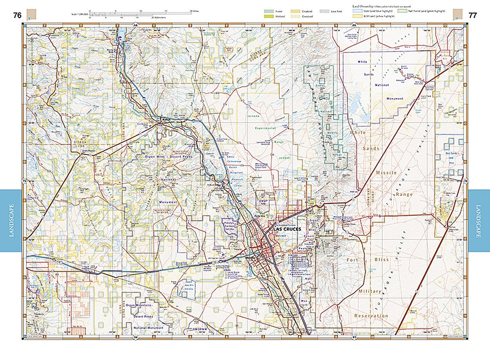
Unlike online maps, this 96-page powerhouse gives you the full picture. Benchmark’s Landscape Maps use elevation-tinted relief to clearly show New Mexico’s dramatic mountains, desert basins, and winding valleys — all field-checked for pinpoint accuracy. Flip to the Recreation Maps and you’ll find easy-to-read color coding for public lands, from BLM tracts and state parks to forest service areas and wilderness zones.
Loaded with GPS grids, page overlap for seamless travel, and listings for campgrounds, RV parks, and scenic attractions, this 11" x 15" atlas is the ultimate road-trip companion. Plan smarter, explore deeper, and navigate New Mexico with confidence — no Wi-Fi required.
SKU: SKU:NGSBENNMAT
View full details