Rand McNally
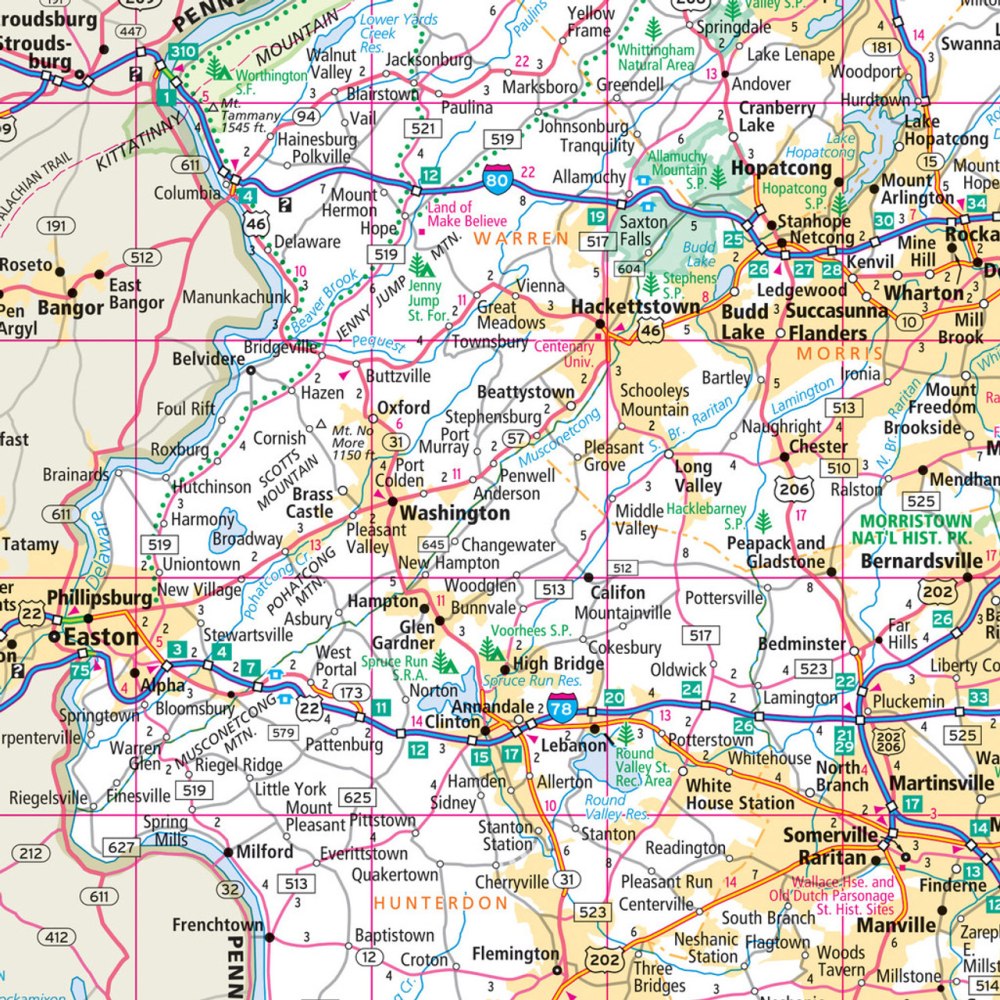
New Jersey State Highway Laminated Map by Rand McNally - Easy to Fold
New Jersey State Highway Laminated Map by Rand McNally - Easy to Fold
Couldn't load pickup availability
Share
Discover New Jersey with a road-trip essential designed to grab your attention from the start. This laminated, Easy to Fold Rand McNally state highway map delivers durability you can rely on, making it perfect for planning routes, jotting down notes, and wiping the surface clean for your next adventure. No app battery to drain, no screen glare—just smooth, tear-resistant navigation that works anywhere your journey takes you.
Enjoy crisp, full-color cartography with clearly marked highways, county boundaries, and points of interest. The smart folding design lets you open only the section you need, eliminating mid-drive fumbling. Explore lesser-known gems like the stunning Grounds for Sculpture, a must-see stop that surprises travelers with its immersive outdoor art.
Packed with a quick-reference legend, city index, and accurate mileage facts—like New Jersey’s roughly 240 miles from High Point to Cape May—this road map is the dependable companion every traveler needs.
SKU: SKU:RMCUSNJE
View full details