Rand McNally
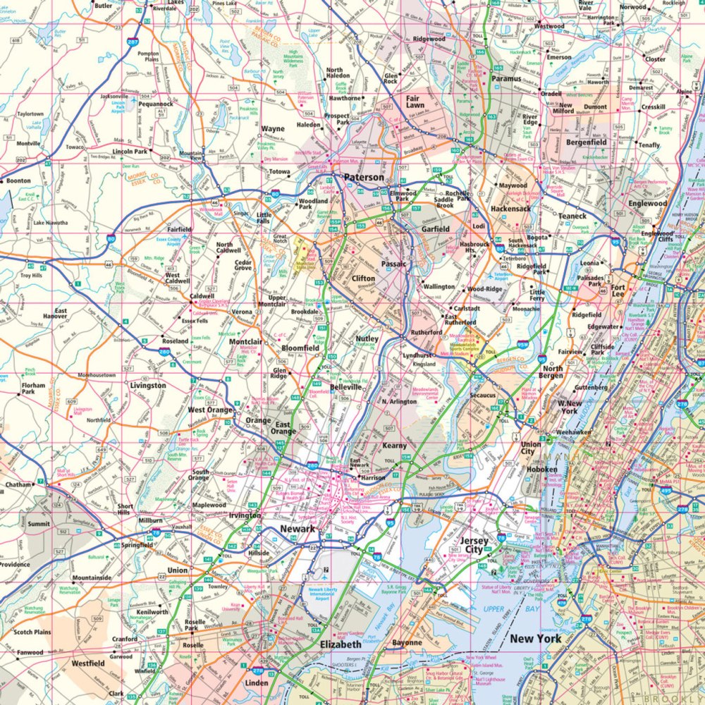
New Jersey State Highway Folded Map by Rand McNally - Easy to Read
New Jersey State Highway Folded Map by Rand McNally - Easy to Read
Couldn't load pickup availability
Share
Hit the road in the "Garden State" with the New Jersey State Highway Folded Map by Rand McNally, your ultimate travel companion for discovering the best of New Jersey! Skip the endless scrolling on your phone and plan your perfect road trip with confidence using a map that shows every Interstate, U.S., state, and county highway with crystal-clear labels. Whether you're navigating to the Jersey Shore or uncovering hidden gems like the serene Grounds For Sculpture in Hamilton, this map helps you find it all.
Rand McNally’s Easy to Read map is packed with up-to-date, full-color detail, including parks, points of interest, airports, county lines, and streets. A handy legend and detailed index make it simple to locate destinations and plan mileage and driving times. Compact, convenient, and larger than laminated folded maps, it’s perfect for glove compartments or travel bags—making every New Jersey adventure easier and more fun.
SKU: SKU:RMCUSNJ
View full details