Rand McNally
New Hampshire & Vermont State Highway Laminated Map Rand McNally
New Hampshire & Vermont State Highway Laminated Map Rand McNally
Couldn't load pickup availability
Share
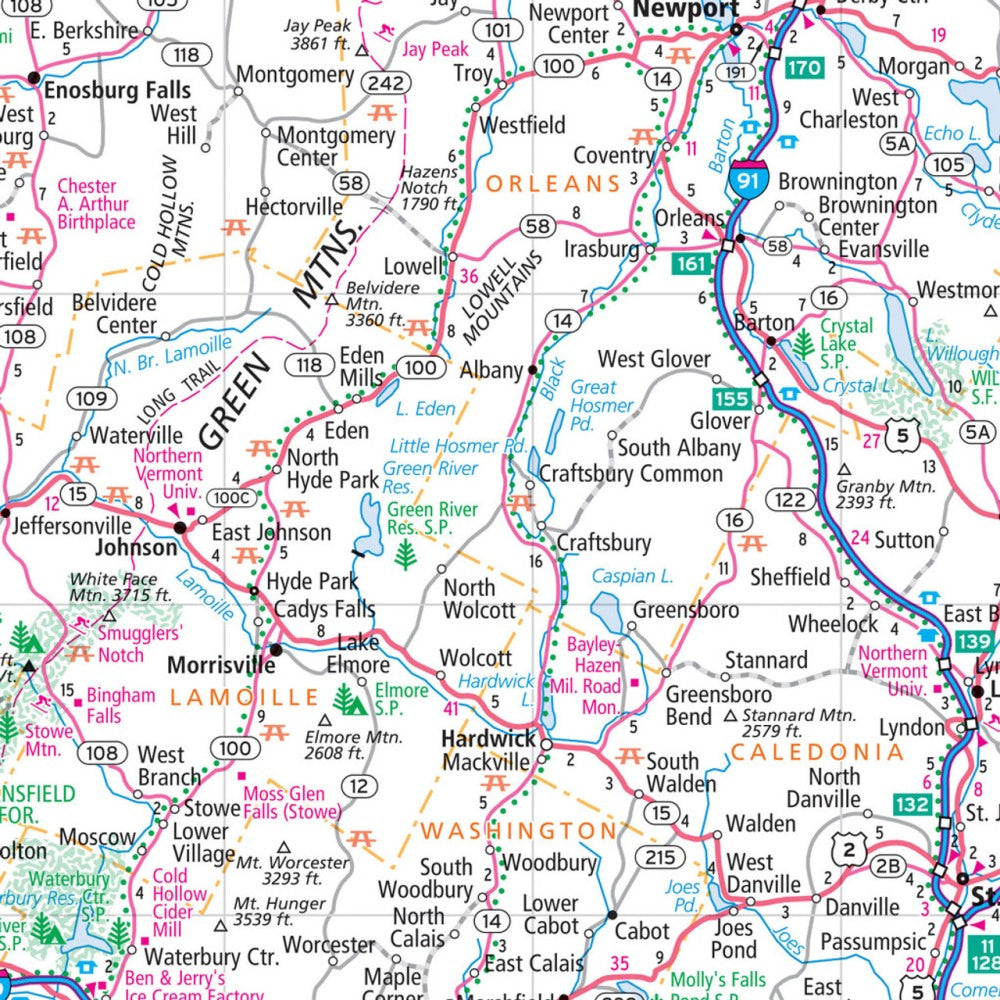
The New Hampshire & Vermont State Highway Laminated Map by Rand McNally grabs attention from the moment you unfold it—because planning your trip on a laminated map means you can mark routes, jot notes, and wipe it clean for repeat use without worry. It’s the dependable, fumble-free road companion every explorer needs.
Built with a tough, tear-resistant finish, this Easy to Fold map holds up to constant handling while still displaying crisp, full-color cartography. Highways, county lines, and key points of interest are clearly labeled, with a quick-reference legend and city index that keeps navigation simple. Whether you’re cruising New Hampshire’s 18-mile Atlantic shoreline or weaving through Vermont’s quiet backroads, this map keeps your trip running smoothly.
Be sure to add the lesser-known but unforgettable Saint-Gaudens National Historical Park to your itinerary—a hidden gem perfect for any road trip.
SKU: SKU:RMCUSNHVTE
View full details