Rand McNally
New Hampshire & Vermont State Highway Folded Map by Rand McNally
New Hampshire & Vermont State Highway Folded Map by Rand McNally
Couldn't load pickup availability
Share
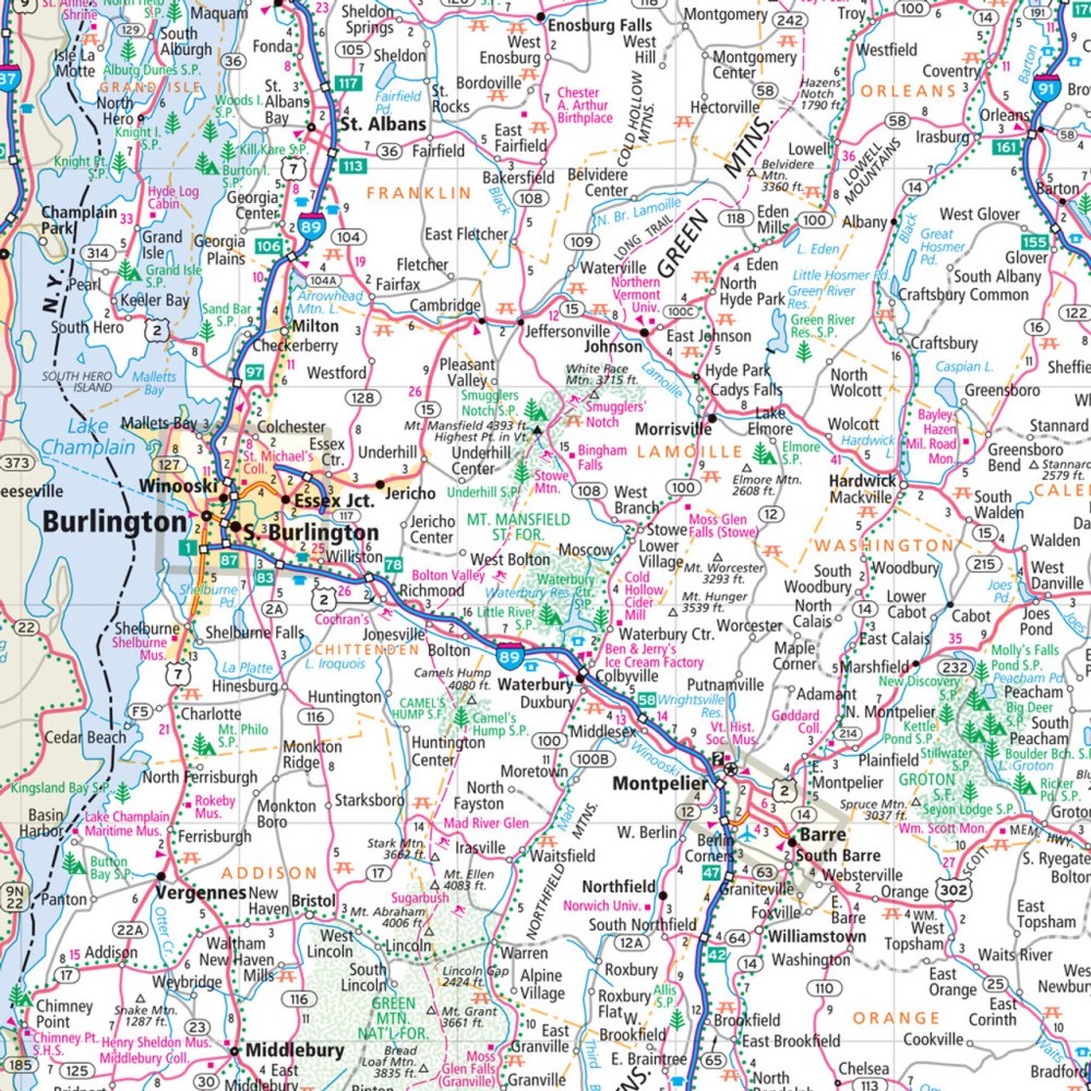
Hit the road through the "Granite State" and "Green Mountain State" with the New Hampshire & Vermont State Highway Folded Map by Rand McNally! Perfect for road trippers, this easy-to-read map makes planning your adventure simple, showing every Interstate, U.S., state, and county highway, plus parks, airports, and must-see attractions. Forget relying on spotty cell service—having a trusted paper map ensures you’ll always know exactly where you are and where you’re headed.
Discover hidden gems like Vermont’s quirky Shelburne Museum, a one-of-a-kind destination that’s perfect for a spontaneous stop. With a clear legend, detailed index, and up-to-date full-color mapping, this map takes the guesswork out of driving, giving you accurate mileage, estimated driving times, and all the essential details for a smooth journey. Its larger size makes reading a breeze, and the convenient folded format fits perfectly in your glove compartment or backpack. Explore New Hampshire and Vermont with confidence and style!
SKU: SKU:RMCUSNHVT
View full details