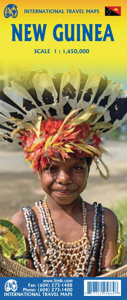
International Travel Maps
New Guinea Travel Map
New Guinea Travel Map
Couldn't load pickup availability
Share
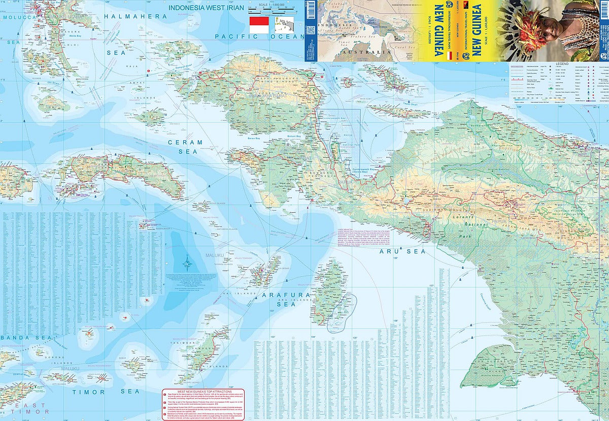
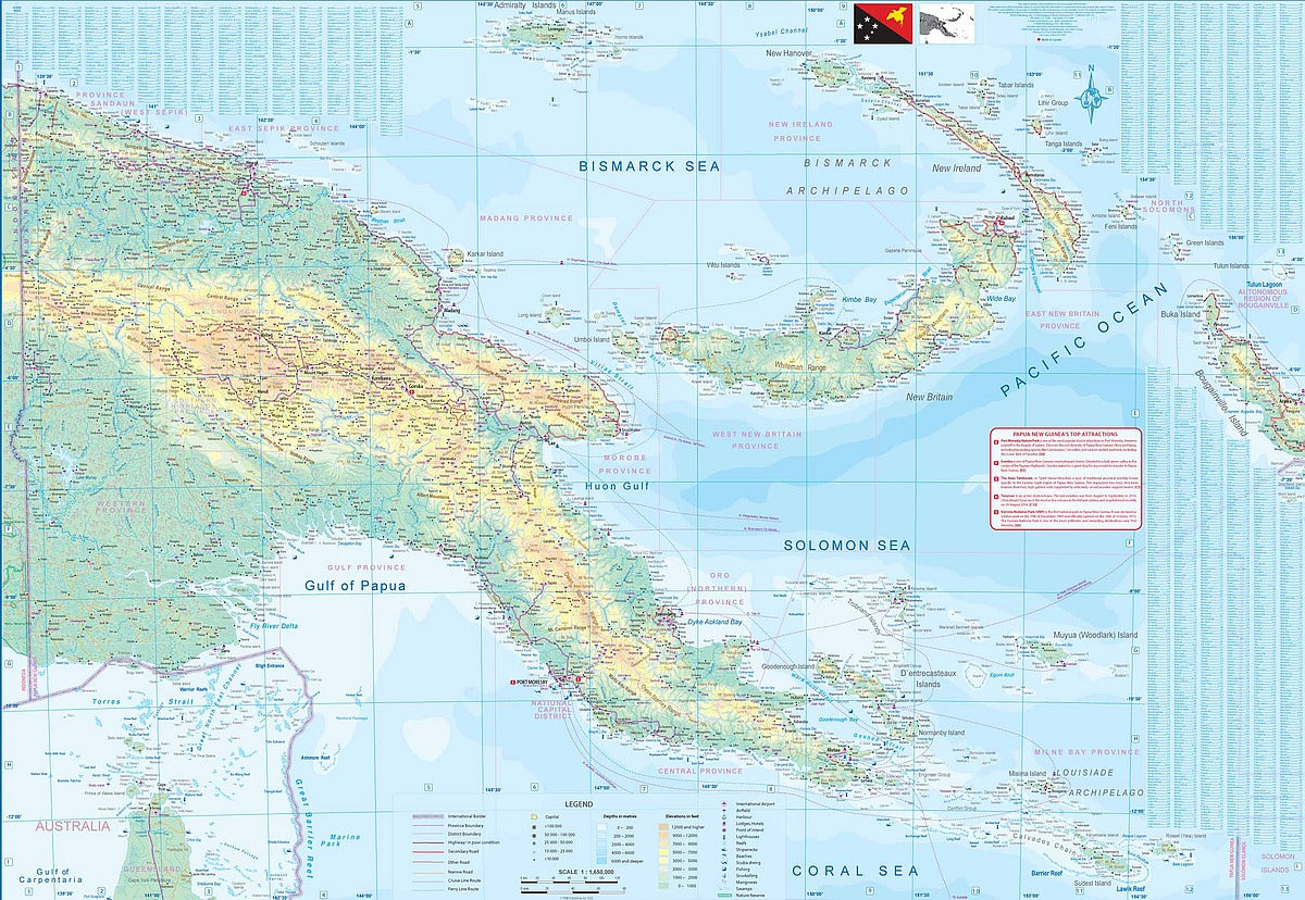
Discover one of the last great frontiers with ITMB’s double-sided New Guinea Travel & Reference Map, scaled at 1:1,650,000. This folded gem offers an exciting look at the South Pacific’s largest island, split between the wild wonders of Papua New Guinea and the remote allure of Indonesia’s West Irian.
Hike the rugged trails to Mount Wilhelm, the nation’s highest peak, or explore the volcanic drama of Rabaul on New Britain Island. Dive into the cultural heartbeat of Jayapura, gateway to West Papua’s untouched interior.
The eastern side details the Republic of Papua New Guinea, including nearby island groups like the Bismarck Archipelago and Bougainville. Flip the map and voyage through the lesser-known but fascinating Indonesian provinces, featuring Seram, Ambon, and most of East Timor.
With features like airports, national parks, rivers, and remote roads, this 27" x 39" map is a trusty sidekick for adventurers ready to chart new territory.
SKU: SKU:ITMNGUI
View full details