Rand McNally
New England Area Highway Laminated Map by Rand McNally - Easy to Fold
New England Area Highway Laminated Map by Rand McNally - Easy to Fold
Couldn't load pickup availability
Share
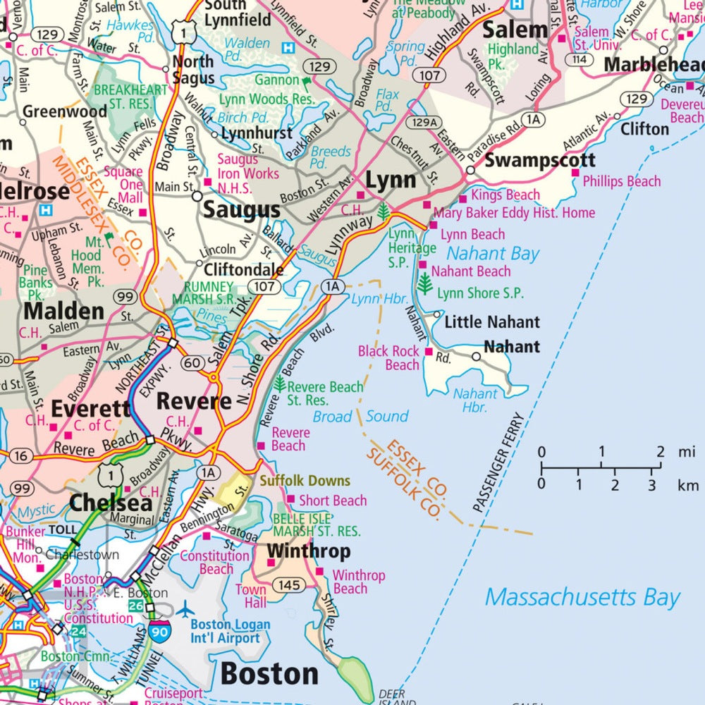
Discover smoother road trips from the very first fold with the New England Area State Highway Laminated Map by Rand McNally. Travelers love how its write-on, wipe-off surface makes planning effortless—perfect for marking scenic detours or making quick updates mid-journey without worrying about wear and tear.
This rugged, laminated map is built to handle miles of adventure. Its tear-resistant construction, crisp full-color cartography, and easy-to-fold format give you clean, uncluttered access to detailed highways, county boundaries, and can’t-miss attractions. Use it to explore lesser-known gems like Massachusetts’ tranquil Quabbin Reservoir, a surprising must-see for nature lovers. You’ll also find helpful trip context such as New Hampshire’s impressive 18-mile Mount Washington Auto Road, one of the steepest in the Northeast.
Whether you're a local traveler or visiting from afar, this laminated map delivers dependable navigation, quick-reference indexes, and intuitive map sections designed to keep your trip running smoothly—every mile of the way.
SKU: SKU:RMCURNEE
View full details