Rand McNally
Nebraska State Highway Folded Map by Rand McNally - Easy to Read
Nebraska State Highway Folded Map by Rand McNally - Easy to Read
Couldn't load pickup availability
Share
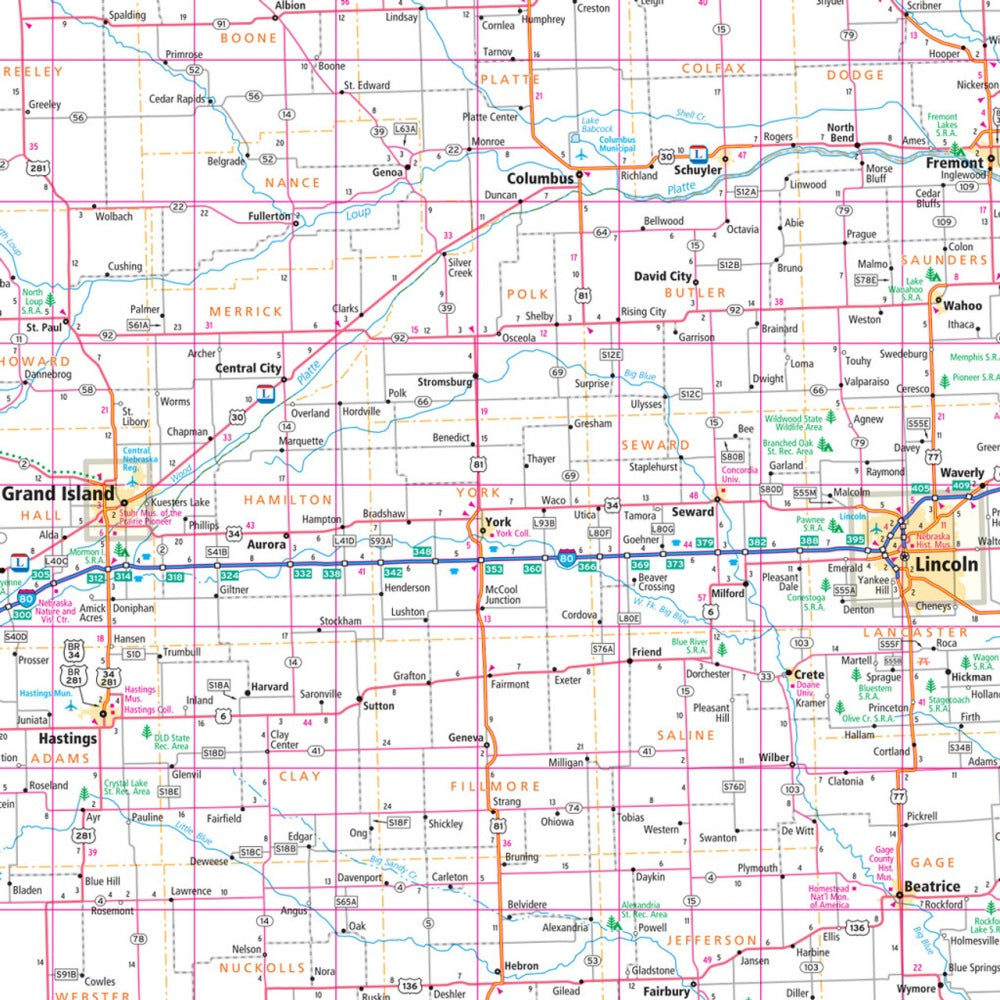
Hit the open road through the "Cornhusker State" with the Nebraska State Highway Folded Map by Rand McNally! Perfect for road trips, this map makes navigating Nebraska’s highways, scenic byways, and hidden gems a breeze, letting you plan your adventure without relying on spotty cell service. Discover all the major Interstates, U.S., state, and county highways, plus parks, airports, county lines, and points of interest, all clearly marked for stress-free travel.
Designed for easy reading, the map features a detailed index, helpful legend, and a full-color, regularly updated layout, giving you confidence wherever the road takes you. Explore lesser-known treasures like Toadstool Geologic Park, a must-see destination with otherworldly rock formations that few travelers find. Compact and conveniently folded, this map is the ideal companion for any Nebraska road trip, combining accuracy, reliability, and practical travel tools in one handy guide for your next adventure.
SKU: SKU:RMCUSNE
View full details