1
/
of
1
NOAA
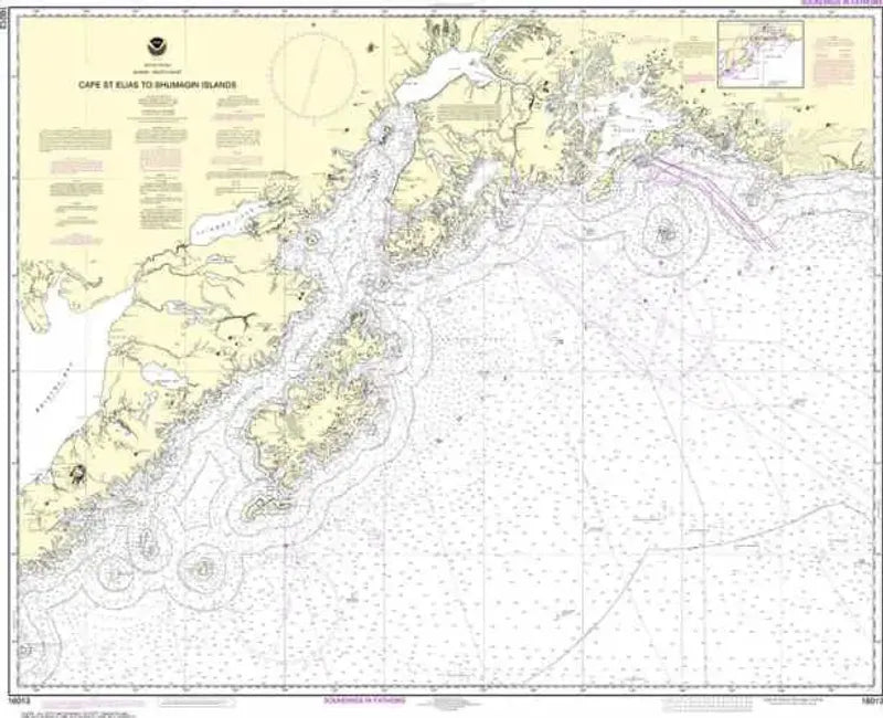
Nautical Chart 16013, Cape St. Elias to Shumagin Islands
Nautical Chart 16013, Cape St. Elias to Shumagin Islands
Regular price
$26.95 USD
Regular price
Sale price
$26.95 USD
Unit price
/
per
Couldn't load pickup availability
Share
Size/Scale: 1:969,761 | 43" x 35
Nautical chart of part of the Gulf of Alaska including Kodiak Island, Shelikof Strait, Seward, Valdez, Cape St. Elias and the waters outside Prince William Sound.
SKU: SKU:NOS16013
View full details