1
/
of
1
NOAA
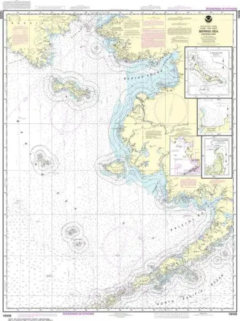
Nautical Chart 16006, Bering Sea (Eastern Part)
Nautical Chart 16006, Bering Sea (Eastern Part)
Regular price
$26.95 USD
Regular price
Sale price
$26.95 USD
Unit price
/
per
Couldn't load pickup availability
Share
Size/Scale: 1:1,534,076 | 31" x 41"
Nautical chart of Alaska and the eastern Bering Sea. Includes Nome, Norton Sound, Kuskokwim Bay, Bristol Bay and south to Dutch Harbor. Insets of St. Matthew Island, the Cape Etolin Anchorage and Nash Harbor.
SKU: SKU:NOS16006
View full details