1
/
of
1
NOAA
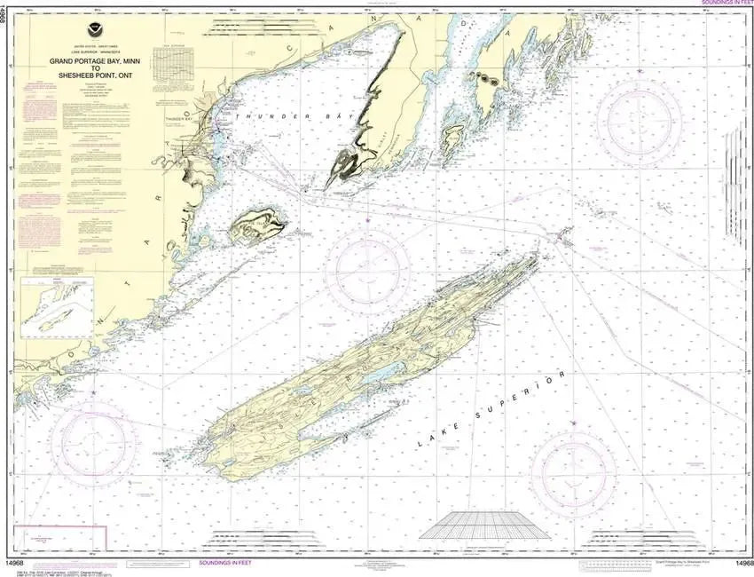
Nautical Chart 14968 (Lake Superior) Grand Portage Bay to Shesbeeb Pt.
Nautical Chart 14968 (Lake Superior) Grand Portage Bay to Shesbeeb Pt.
Regular price
$26.95 USD
Regular price
Sale price
$26.95 USD
Unit price
/
per
Couldn't load pickup availability
Share
Size/Scale: 1:120,000 | 46" x 35"
Nautical chart of part of Lake Superior including Thunder Bay, Isle Royale and the much smaller Pie Island.
To the southeast is chart #14964
To the southwest is chart #14967
To the southeast is chart #14964
To the southwest is chart #14967