1
/
of
1
NOAA
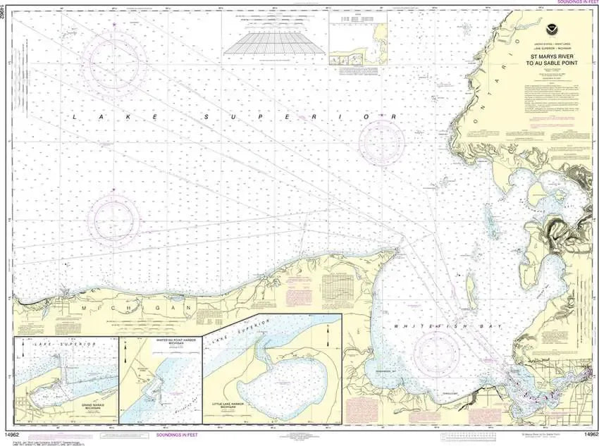
Nautical Chart 14962 (Lake Superior) St. Marys River to Au Sable Point
Nautical Chart 14962 (Lake Superior) St. Marys River to Au Sable Point
Regular price
$26.95 USD
Regular price
Sale price
$26.95 USD
Unit price
/
per
Couldn't load pickup availability
Share
Size/Scale: 1:120,000 | 47" x 35"
Nautical chart southeast Lake Superior including Whitefish Bay, Little Lake Harbor and Grand Marais. This chart to the west is 14963.
Large, rolled up and full of detail...ideal for navigation or hanging on a wall!
SKU: SKU:NOS14962
View full details