1
/
of
1
NOAA
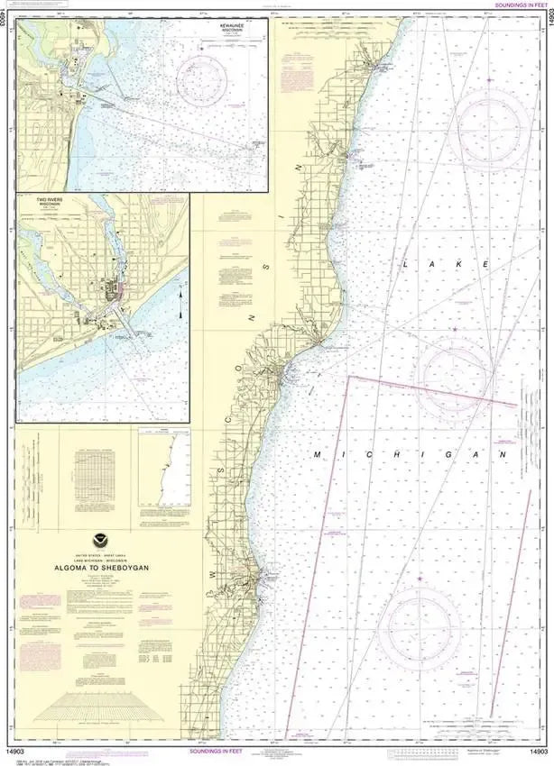
Nautical Chart 14903 (Lake Michigan) Algoma to Sheboygan
Nautical Chart 14903 (Lake Michigan) Algoma to Sheboygan
Regular price
$26.95 USD
Regular price
Sale price
$26.95 USD
Unit price
/
per
Couldn't load pickup availability
Share
Size/Scale: 1:120,000 | 34" x 48"
Nautical chart of part of Lake Michigan including Algoma, Kewaunee, Two Rivers and Manitowoc along the Wisconsin side.
To the south is chart #14904
To the east is chart #14907
To the east is chart #14907
Large, rolled up and full of detail...ideal for navigation or hanging on a wall!
SKU: SKU:NOS14903
View full details