1
/
of
1
NOAA
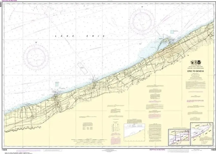
Nautical Chart 14828 (Lake Erie) Erie to Geneva
Nautical Chart 14828 (Lake Erie) Erie to Geneva
Regular price
$26.95 USD
Regular price
Sale price
$26.95 USD
Unit price
/
per
Couldn't load pickup availability
Share
Size/Scale: 1:100,000 | 46" x 35"
Nautical chart of part of Lake Erie near Erie, Conneaut, Ashtabula and Geneva.
To the northeast is chart #14838
To the southwest is chart #14829
Large, rolled up and full of detail...ideal for navigation or hanging on a wall!
SKU: SKU:NOS14828
View full details