1
/
of
1
NOAA
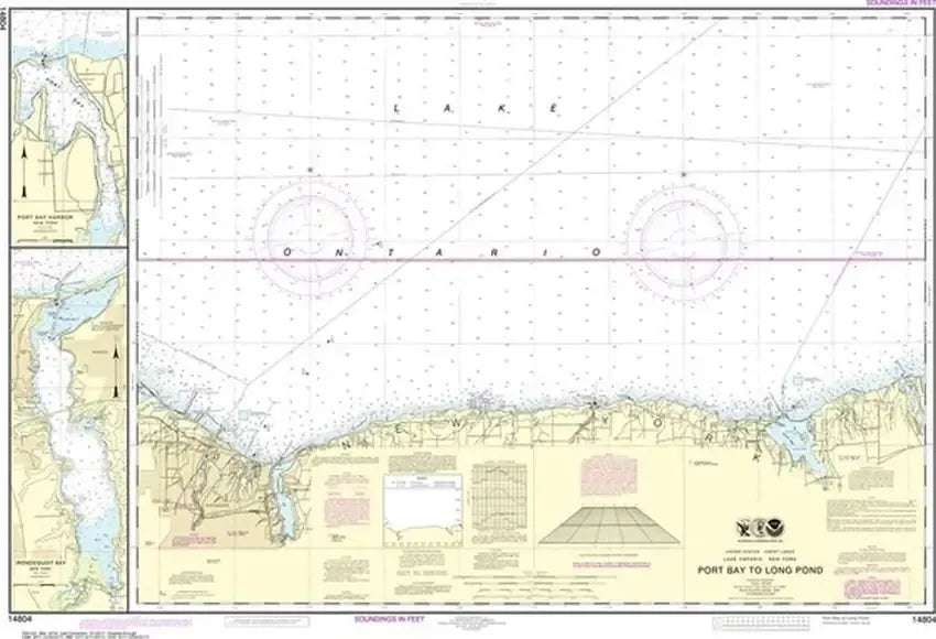
Nautical Chart 14804 (Lake Ontario) Port Bay to Long Pond
Nautical Chart 14804 (Lake Ontario) Port Bay to Long Pond
Regular price
$26.95 USD
Regular price
Sale price
$26.95 USD
Unit price
/
per
Couldn't load pickup availability
Share
Size/Scale: 1:80,000 | 42" x 29"
Nautical chart of part of Lake Ontario, Port Bay to Long Pond, near Rochester and Sodus Bay. Includes insets of Port Bay and Irondequoit Bay.
To the east is chart #14803
To the west is chart #14805
To the west is chart #14805
Large, rolled up and full of detail...ideal for navigation or hanging on a wall!
SKU: SKU:NOS14804
View full details