1
/
of
1
NOAA
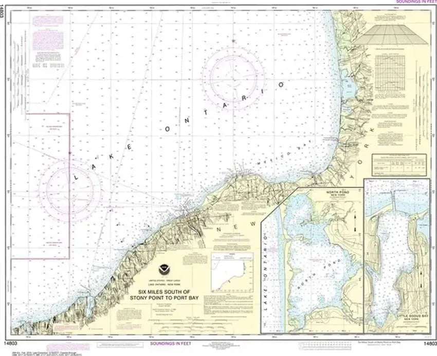
Nautical Chart 14803 (Lake Ontario) Port Bay, Oswego
Nautical Chart 14803 (Lake Ontario) Port Bay, Oswego
Regular price
$26.95 USD
Regular price
Sale price
$26.95 USD
Unit price
/
per
Couldn't load pickup availability
Share
Size/Scale: 1:80,000 | 36" x 30"
Nautical chart of part of Lake Ontario near Oswego and North Pond. This chart is officially called 'six miles south of Stony Point to Port Bay.'
Large, rolled up and full of detail...ideal for navigation or hanging on a wall!
SKU: SKU:NOS14803
View full details