Tom Harrison Maps
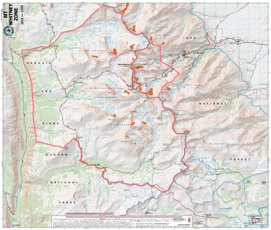
Mt. Whitney Zone Hiking Map by Tom Harrison
Mt. Whitney Zone Hiking Map by Tom Harrison
Couldn't load pickup availability
Share
Ready to conquer California’s legendary high country? The Mt. Whitney Zone Hiking Map by Tom Harrison delivers exceptional detail for exploring the rugged trails, alpine lakes, and towering peaks surrounding the highest summit in the contiguous United States!
With an impressive 1:31,680 scale (1 inch = ½ mile) and 80-foot contour intervals, this detailed topographic hiking map helps you plan adventures from Whitney Portal or the southern approach at Horseshoe Meadows. Follow the famous Mount Whitney Trail toward the summit or explore the rugged route to Mount Langley and the spectacular Miter Basin.
Along the way, discover granite ridges, wildflower-studded meadows, bristlecone and lodgepole pines, and wildlife such as marmots, pikas, mule deer, and black bears. Trail mileage, elevation points, trailheads, campgrounds, ranger stations, bear boxes, equestrian facilities, and forest service roads help you navigate this dramatic Sierra Nevada wilderness.
For ambitious peak baggers and adventurous backpackers, this Tom Harrison hiking map is an essential trail companion!
SKU: SKU:HARWHITNEYZONE
View full details