Tom Harrison Maps
Mt. Whitney High Country Hiking Map by Tom Harrison
Mt. Whitney High Country Hiking Map by Tom Harrison
Couldn't load pickup availability
Share
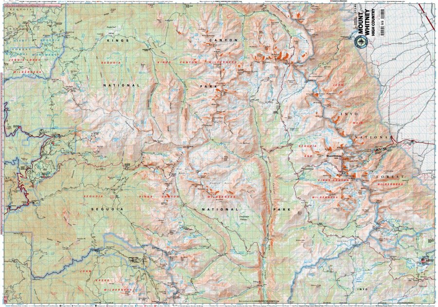
Ready to tackle California’s legendary high country? The Mt. Whitney High Country Hiking Map by Tom Harrison is your essential trail companion for exploring towering peaks, rugged wilderness, and unforgettable Sierra Nevada scenery!
Covering the spectacular mountain country surrounding Mt. Whitney, this detailed hiking map highlights iconic routes including the Pacific Crest Trail (PCT), John Muir Trail (JMT), and High Sierra Trail. Whether you’re planning a challenging backpacking adventure or exploring breathtaking alpine landscapes, you’ll appreciate the clear cartography, trail mileage, and elevation points that help you plan your next adventure.
Discover granite cliffs, sparkling alpine lakes, fragrant pine forests, and colorful wildflower meadows while keeping an eye out for marmots, pikas, mule deer, and soaring golden eagles. With 80-foot contour intervals and useful details marking trailheads, campgrounds, ranger stations, equestrian facilities, bear boxes, and forest service roads, this Tom Harrison hiking map helps you navigate the rugged High Sierra with confidence.
Scale: 1:63,360. Pack your map and hit the trail!
SKU: SKU:HARWHITNEYHIGH
View full details