Tom Harrison Maps
Mt. Tam & Marin Headlands Hiking Map by Tom Harrison
Mt. Tam & Marin Headlands Hiking Map by Tom Harrison
Couldn't load pickup availability
Share
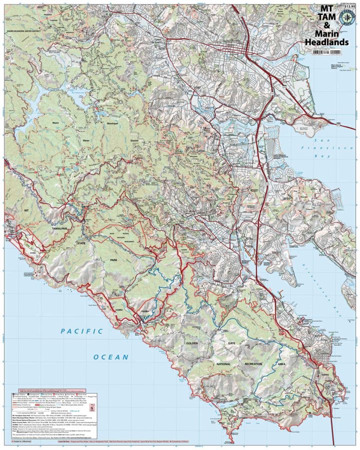
Discover the best of Northern California’s spectacular outdoors with the Mt. Tam & Marin Headlands Hiking Map by Tom Harrison! From misty redwood forests to panoramic Pacific Ocean vistas, this detailed hiking map is your ticket to unforgettable trails just north of San Francisco.
Covering Mt. Tamalpais State Park, Golden Gate National Recreation Area, Muir Woods National Monument, Marin Municipal Water District, and surrounding public preserves, this map makes planning your next adventure a breeze. Follow iconic routes like the Bay Area Ridge Trail and the legendary Dipsea Trail, winding through lush woodlands, rolling hills, and scenic coastal landscapes.
Keep an eye out for towering coast redwoods, colorful wildflowers, black-tailed deer, red-tailed hawks, and other native wildlife. With a detailed 1:24,000 scale (1 inch = 2,000 feet) and 40-foot contour intervals, you’ll find trail mileage, elevation points, trailheads, campgrounds, trail camps, picnic areas, and ranger stations. Clearly marked routes distinguish trails for hikers, cyclists, and horseback riders.
Make every Marin County hike count with Tom Harrison’s trusted trail map!
SKU: SKU:HARMTTAM
View full details