National Geographic
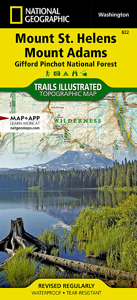
Mt. St. Helens & Mt. Adams Trails Illustrated Topographic Map #822
Mt. St. Helens & Mt. Adams Trails Illustrated Topographic Map #822
Couldn't load pickup availability
Share
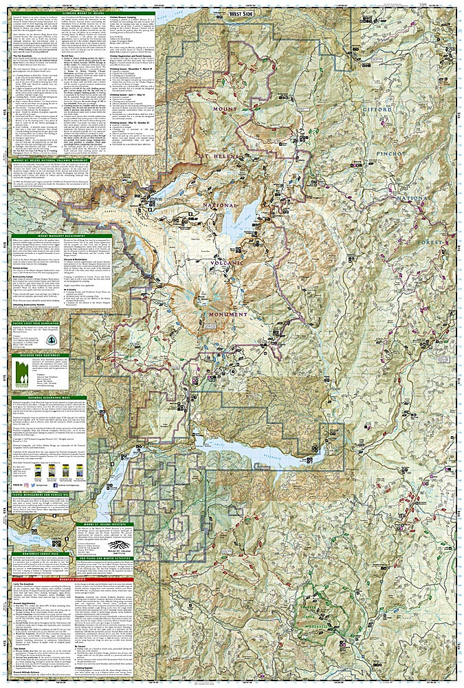
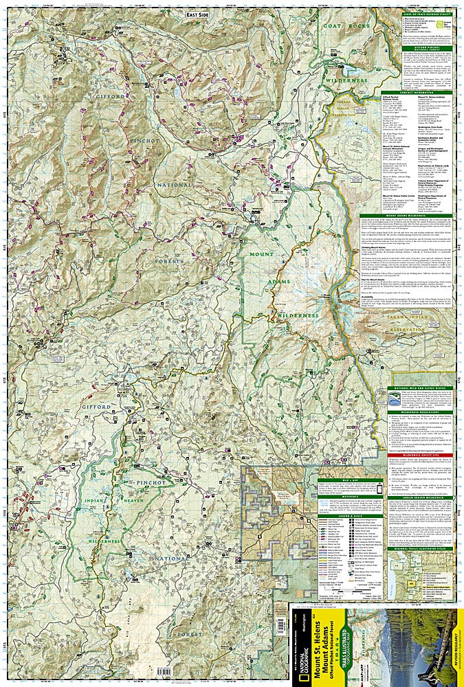
Conquer Washington’s wildest peaks with the Mt. St. Helens & Mt. Adams Trails Illustrated Topographic Map #822! Perfect for hikers, climbers, and outdoor adventurers, this map puts the Cascade Range’s most thrilling landscapes right at your fingertips. Explore the volcanic scars of Mount St. Helens, wander peaceful trails in Trapper Creek Wilderness, or cast a line at scenic Swift Reservoir.
Trace rivers and lakes like Salmon, Cispus, and Lewis, or discover hidden gems such as Yale, Coldwater, and Spirit lakes. Learn the dramatic history of the 1980 eruption that transformed the landscape, while planning safe, unforgettable treks up Mount St. Helens or across Mount Adams’ towering slopes.
Packed with every trail, from interpretive hikes to stretches of the Pacific Crest National Scenic Trail, plus campgrounds, ATV routes, horse camps, and sno-parks, this map has all your adventure needs covered. Printed on waterproof, tear-resistant paper with a full UTM grid for GPS navigation, it’s ready for mud, rain, and mountain challenges. Take the guesswork out of your next adventure and explore Washington’s iconic peaks like a pro!
SKU: SKU:TRA822
View full details