Adventure Maps
Mt. Jefferson, Bull of the Woods & Opal Creek Wilderness Trail Map
Mt. Jefferson, Bull of the Woods & Opal Creek Wilderness Trail Map
Couldn't load pickup availability
Share
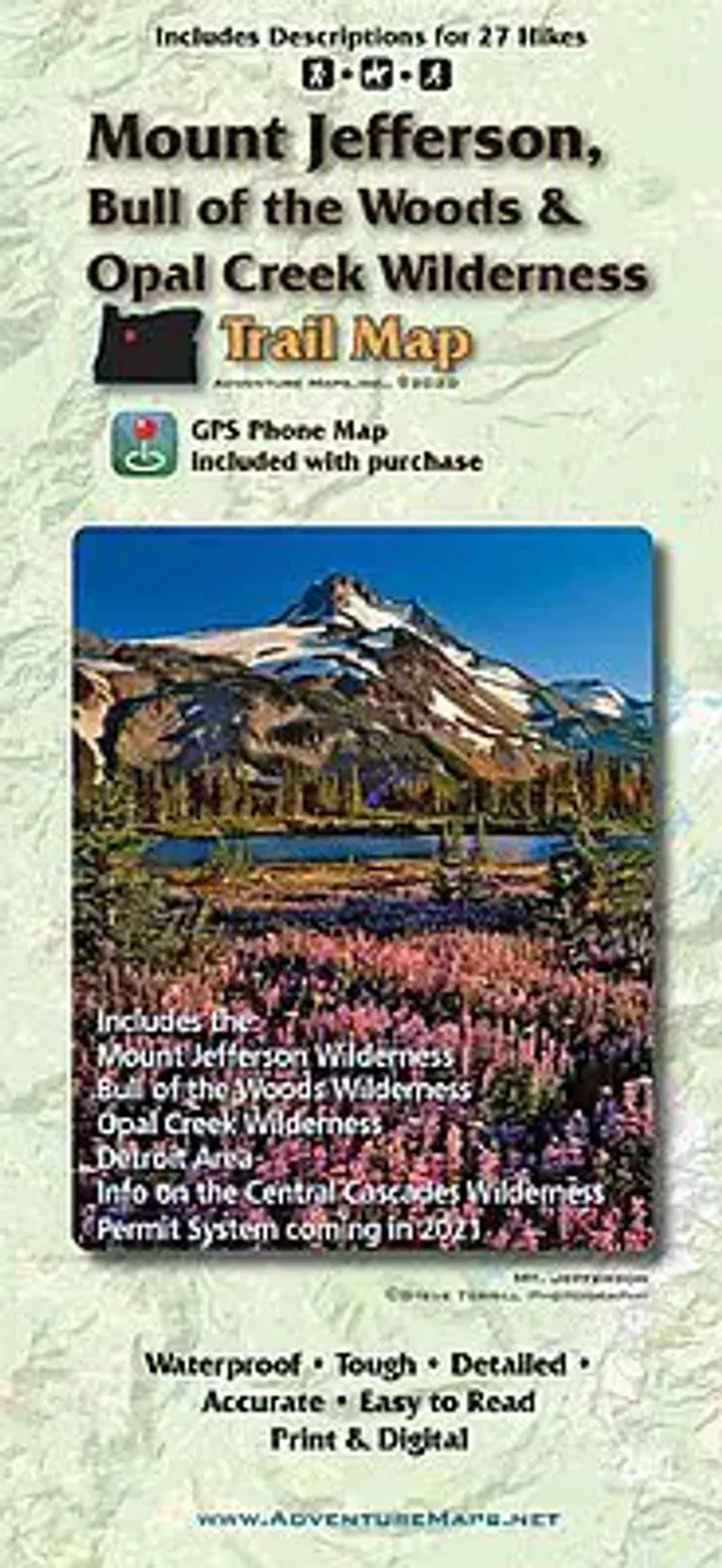
Discover the natural wonders of Oregon with the Mt. Jefferson, Bull of the Woods & Opal Creek Wilderness Hiking & Biking Trail Map. Centered in the lush Western Cascades, this waterproof, topographic map (with lat/long and UTM grids) guides you through a recreation paradise of volcanic peaks, alpine lakes, and ancient forests.
Covering Mt. Jefferson, Opal Creek, and Bull of the Woods Wilderness areas—as well as Detroit and Olallie Lakes—this map includes detailed route descriptions for 27 of the region’s best hikes. Explore moderate mountain slopes perfect for hiking, trail running, backpacking, horseback riding, and fishing. Steeped in Indigenous and pioneer history, the area offers accessible trails and breathtaking views.
With accurate streams, OHV routes, roads, and land boundaries clearly marked, this 1:50,000 scale map is an essential companion for outdoor adventure in one of Oregon’s most scenic and storied regions.
SKU: SKU:ADVMTJEFF
View full details