1
/
of
1
National Forest Service
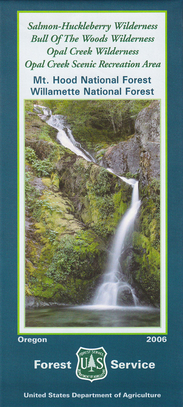
Mt. Hood NF - Salmon-Huckleberry & Bull of the Woods Wildernesses Map
Mt. Hood NF - Salmon-Huckleberry & Bull of the Woods Wildernesses Map
Regular price
$19.95 USD
Regular price
Sale price
$19.95 USD
Unit price
/
per
Couldn't load pickup availability
Share
Discover the wild beauty of Oregon’s backcountry with the Salmon-Huckleberry, Bull of the Woods & Opal Creek Wildernesses National Forest Service Map. Located just east of Salem and southeast of Portland in the central Cascade Range, this detailed topographic map guides you through over 120,000 acres of rugged peaks, ancient forests, and pristine waterways.
Visit popular gems like Bagby Hot Springs, Jawbone Flats, and the awe-inspiring Bull of the Woods Lookout. These wilderness areas are rich in biodiversity—keep your eyes peeled for Roosevelt elk, black bears, and rare Pacific yew trees among old-growth Douglas fir and western hemlock. Steeped in logging history and conservation legacy, this region offers deep trails into Oregon’s wild heart.
Access roads, trail numbers, mileage, elevation gain, and horse-use designations are all clearly shown to help you plan the perfect adventure. A must-have map for hikers, backpackers, and nature lovers alike.
SKU: SKU:NFORSAL
View full details


