Adventure Maps
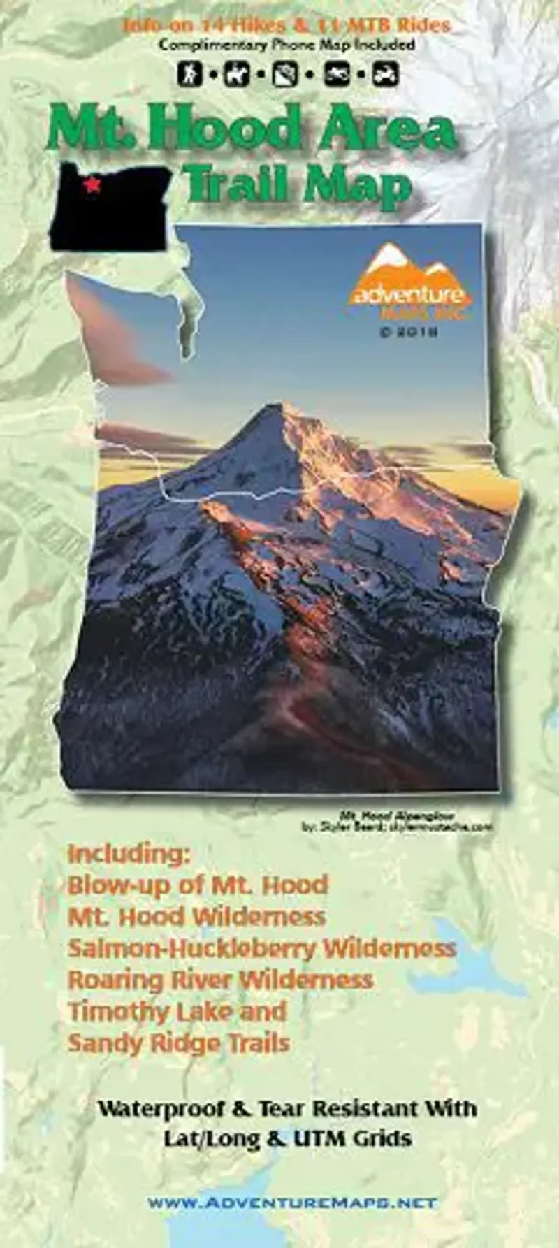
Mt Hood Area Hiking Map
Mt Hood Area Hiking Map
Couldn't load pickup availability
Share
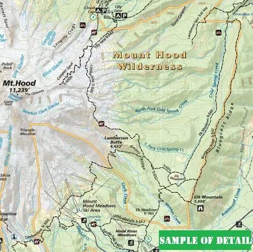
Published by Adventure Maps - this topographic trail map (includes lat/long, UTM Grids) of the Mt Hood Area was published in 2020.
Focusing on the outdoors-person, this map includes Hiking Trails, Riding Routes and Climbing Routes! It's coverage spans Mt. Hood, The Mt. Hood Wilderness, Salmon-Huckleberry Wilderness, Badger Creek Wilderness, Roaring River Wilderness, Surveyors Ridge, Lookout Mountain, Timothy Lake and the Sandy Ridge Trails.
Not only that, it also includes 11 mountain bike trails and 14 different hiking descriptions. We'd also call this map very useful for Fisherman, Equestrians, Hunters and OHV riders because it shows streams, lakes, roads, OHV routes and land ownership boundaries.
Printed waterproof / tearproof paper.
SKU: SKU:ADVMTHOOD
View full details