1
/
of
2
National Geographic
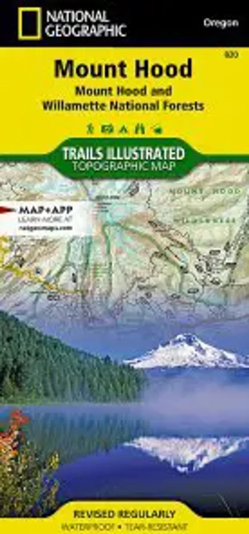
Mt. Hood & Area Hiking Map
Mt. Hood & Area Hiking Map
Regular price
$14.95 USD
Regular price
Sale price
$14.95 USD
Unit price
/
per
Couldn't load pickup availability
Share
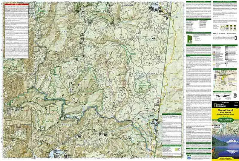
Located just outside of Portland, Mt. Hood is the tallest peak in Oregon, the fourth highest in the Cascade Range! This accessible volcano is a popular hiking destination. Trails Illustrated makes this topographic hiking map that includes trails, campsites, forest service roads, lakes, rivers, points-of-interests, UTM and Latitude/Longitude grids and mileage charts...and it's waterproof!
Covers as far north as Bull Run Lake & Lost Lake and as far south as Olallie Lake and the northern part of Willamette National Forest. includes the Pacfic Crest Trail and to the east and west of the trail.