1
/
of
1
National Forest Service
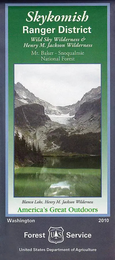
Mt Baker-Snoqualmie NF - Skykomish Ranger District Forest Service Map
Mt Baker-Snoqualmie NF - Skykomish Ranger District Forest Service Map
Regular price
$19.95 USD
Regular price
Sale price
$19.95 USD
Unit price
/
per
Couldn't load pickup availability
Share
Explore the wild beauty of Washington’s Skykomish Ranger District with this official U.S. Forest Service topographic map—your gateway to adventure in the central Cascades! Located along the western slopes of the Cascade Range, between the Darrington Ranger District to the north and the Snoqualmie Ranger District to the south, this rugged area is packed with natural wonders.
Discover breathtaking sites like Wallace Falls, Blanca Lake, and the dramatic summit of Mt. Baring. Encompassing part of the 1.7 million-acre Mount Baker–Snoqualmie National Forest, the district is home to old-growth Douglas firs, Roosevelt elk, black bears, and elusive spotted owls. With a history rooted in logging, mining, and early mountaineering, today it’s a paradise for hikers, climbers, and nature lovers.
Whether you're planning a weekend trek or a scenic drive along Highway 2, this waterproof map offers essential trail, road, and elevation details to guide your Pacific Northwest journey.
SKU: SKU:NFWASKYRD
View full details


