National Geographic
Mt Baker & Boulder River Wilderness Areas Trails Illustrated Map #826
Mt Baker & Boulder River Wilderness Areas Trails Illustrated Map #826
Couldn't load pickup availability
Share
Adventure awaits in the rugged peaks and lush valleys of northern Washington with National Geographic’s Trails Illustrated Map #826 of the Mount Baker and Boulder River Wilderness Areas. Whether you’re chasing glacier views on Mount Shuksan, paddling the sparkling waters of Baker Lake, or hiking the iconic Pacific Crest Trail, this map has everything you need to navigate the breathtaking Cascades like a pro.
Rich with history, this region was first explored by early European settlers in the 19th century and has long been a playground for mountaineers, loggers, and river rafters. Today, it offers unspoiled wilderness, from the roaring Boulder River to the serene alpine meadows surrounding Mount Baker.
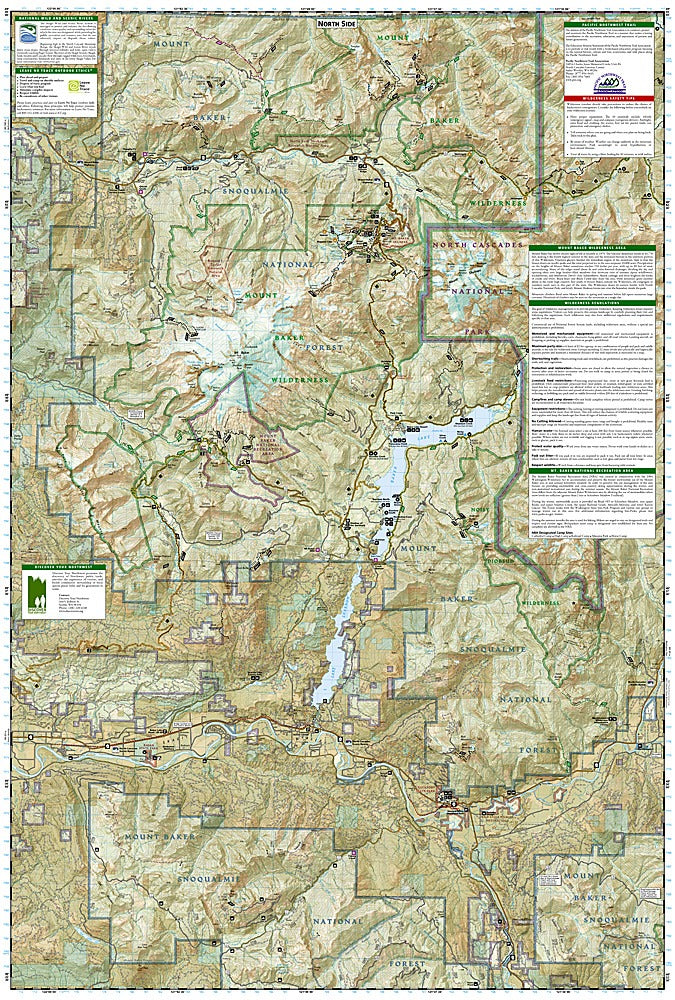
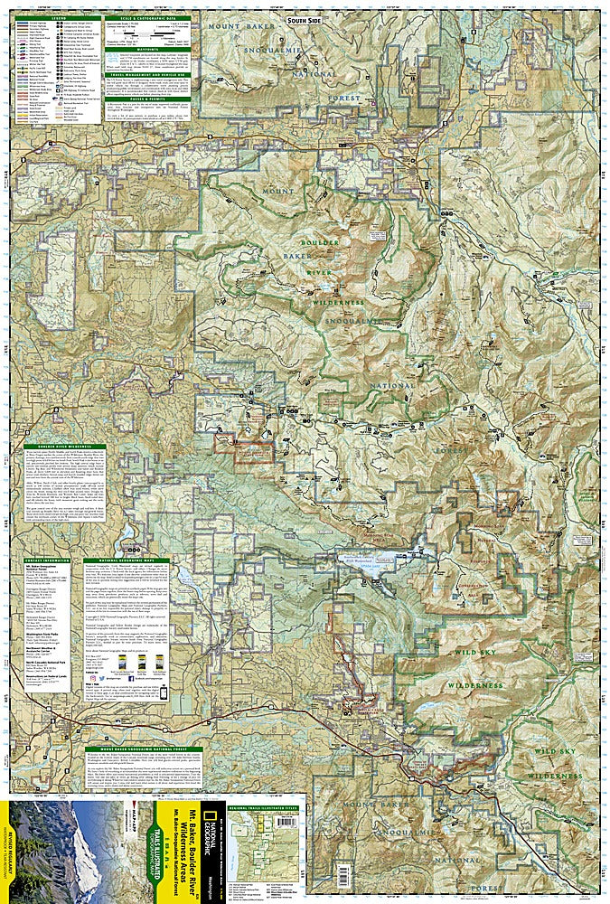
Covering Mount Baker-Snoqualmie National Forest, Wild Sky, Noisy-Diobsud, and Boulder River Wilderness Areas, plus key recreation spots like Spada Lake and Wallace Falls State Park, the map details trails for hiking, biking, skiing, horseback riding, and more. Contour lines, elevations, labeled peaks, waterways, Forest Service roads, and boundaries make planning your adventure easy.
Printed on waterproof, tear-resistant paper and featuring a full UTM grid for GPS navigation, this Trails Illustrated map ensures you’re prepared for every summit, river bend, and hidden meadow. Perfect for explorers who want the thrill of adventure without getting lost along the way.
SKU: SKU:TRA826
View full details