National Geographic
Mt Baker - Boulder River Wilderness Area Map
Mt Baker - Boulder River Wilderness Area Map
Couldn't load pickup availability
Share
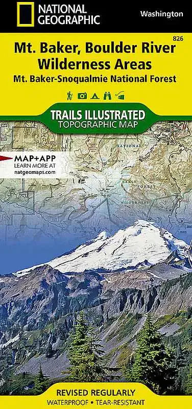
National Geographic Trails Illustrated Topographic Map #826: Mt. Baker & Boulder River Wilderness Areas
Embark on your next outdoor adventure with the National Geographic Trails Illustrated Topographic Map #826, meticulously designed to guide you through the rugged beauty of the Mt. Baker and Boulder River Wilderness Areas. Whether you’re planning a day hike, multi-day backpacking trip, or simply exploring Washington’s breathtaking landscapes, this map is your indispensable companion.
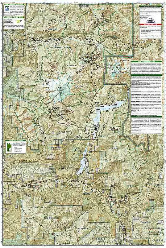
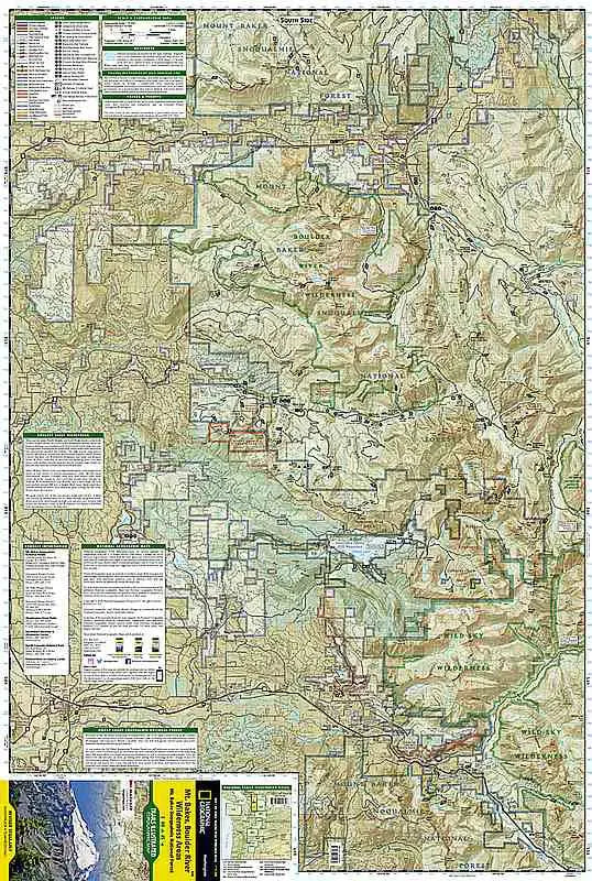
Crafted with unparalleled precision, Trails Illustrated Map #826 features comprehensive topographic detail at a 1:75,000 scale, highlighting elevation changes, landforms, and waterways to help you navigate with confidence. The map includes essential landmarks such as the towering Mt. Baker, one of the Pacific Northwest's most iconic volcanoes, and the lush valleys of the Boulder River Wilderness, renowned for its cascading waterfalls and old-growth forests.
With user-friendly details like clearly marked trails, backcountry campsites, and points of interest, this waterproof and tear-resistant map is built to withstand the elements. It also provides insights into wilderness regulations, safety tips, and Leave No Trace principles, ensuring a responsible and enjoyable journey.
Key features include trail mileage, boundaries of protected areas, and nearby attractions like the North Cascades Scenic Highway and Mount Baker-Snoqualmie National Forest. Whether trekking to Lake Ann, summiting Hannegan Peak, or wandering along the Boulder River Trail, this topographic hiking map ensures you stay oriented and inspired.
Discover the unmatched beauty of the Mt. Baker and Boulder River Wilderness Areas with Map #826—your ultimate guide to the wild.