1
/
of
1
USGS
Mount Adams Area 1:24K USGS Topo Maps
Mount Adams Area 1:24K USGS Topo Maps
Regular price
$12.00 USD
Regular price
Sale price
$12.00 USD
Unit price
/
per
Couldn't load pickup availability
Share
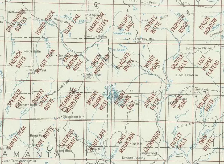
The Mount Adams area in southwest Washington includes the Cispas, Klickitat and Lewis Rivers. Most intriguing title in this grouping.....Sleeping Beauty!
The 7.5 minute maps by USGS are the most detailed topographic maps of Washington State and are the best tool for figuring out the shape of the land using contour lines. Hills, depressions, cliffs, plateaus, and other physical features are clearly marked on these maps, while colors and symbols indicate whether these hills are wooded or clear. Roads, trails, power lines and shelters are also marked.
Each map measures approximately 22" x 27".
SKU: SKU:
View full details