Rand McNally
Montana & Wyoming State Highway Laminated Map by Rand McNally
Montana & Wyoming State Highway Laminated Map by Rand McNally
Couldn't load pickup availability
Share
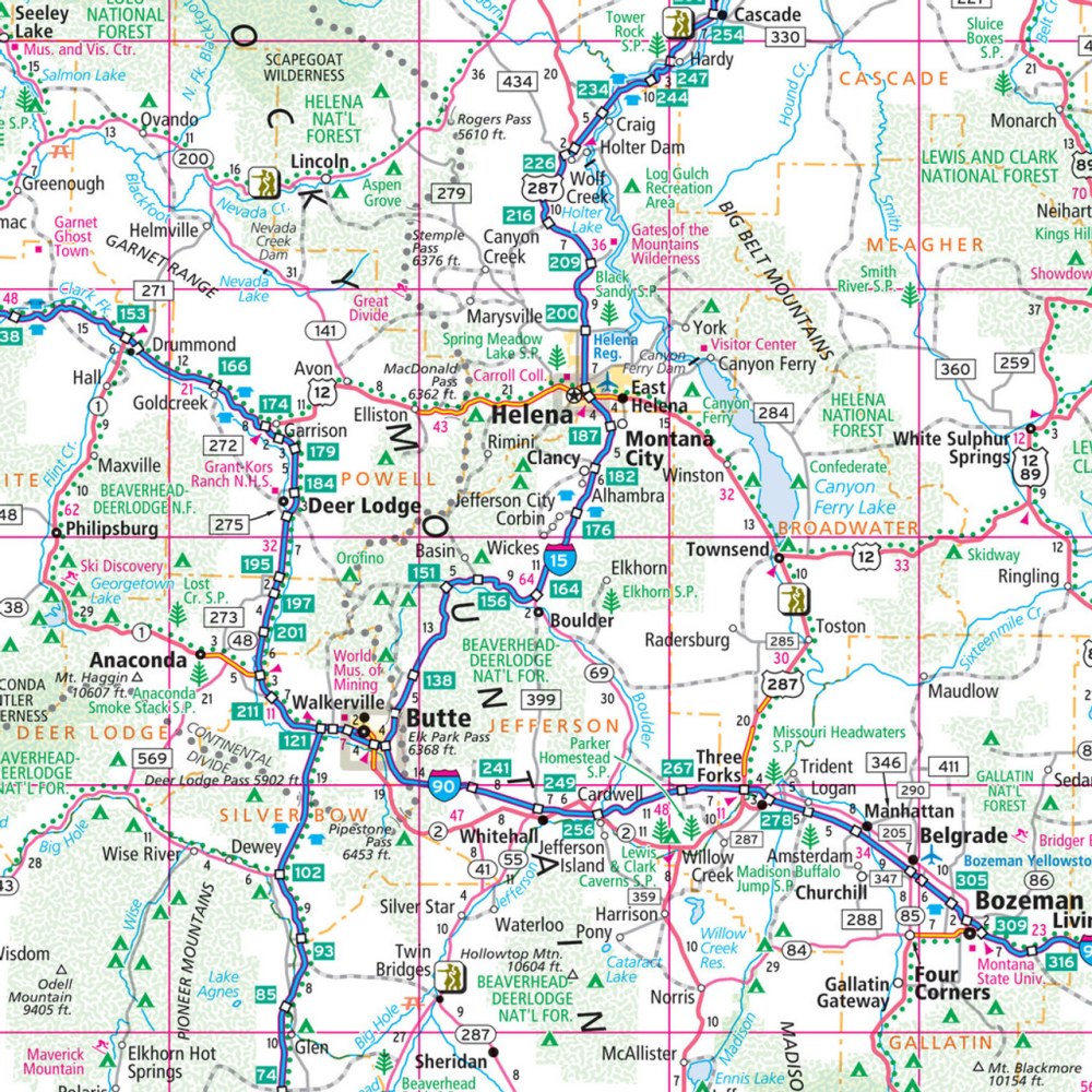
Hit the open road with the Montana & Wyoming State Highway Laminated Map by Rand McNally, your ultimate travel companion for adventure across Big Sky Country and the Equality State. This easy-to-fold, heavy-duty laminated map lets you plan your route with confidence—jot down notes, track mileage, or highlight must-see stops, then simply wipe it clean for the next leg of your journey. Navigate clearly with full-color maps that show highways, county lines, and key points of interest, while the quick-reference legend and city index make finding your destination a breeze.
Discover hidden gems off the beaten path, like the stunning Bighorn Canyon National Recreation Area, a lesser-known treasure perfect for road trippers. Covering thousands of miles of scenic routes, this tear-resistant, durable map is built to withstand the rigors of the road, making it ideal for both residents and travelers eager to explore every corner of Montana and Wyoming.
SKU: SKU:RMCUSMTE
View full details